- Guntersville (Alabama)
-
Guntersville Ciudad de los Estados Unidos Ubicación en el condado de Marshall y en el estado de Alabama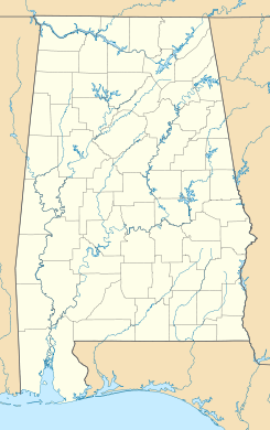
 Guntersville
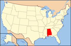
Ubicación de Alabama en EE. UU.Coordenadas: Entidad Ciudad • País  Estados Unidos
• Estado  Alabama
• Condado Marshall Superficie • Total 105,1 km² • Tierra 61,2 km² • Agua 43,9 km² Altitud • Media 198 msnm Población (2010) • Total 8.197 hab. • Densidad 77,99 hab/km² Huso horario Centro: UTC-6 • en verano UTC-5 Código ZIP 35976 Código de área 256 Guntersville es una ciudad ubicada en el condado de Marshall en el estado estadounidense de Alabama. En el censo de 2000, su población era de 7.395.
Contenido
Demografía
En el 2000[1] la renta per cápita promedia del hogar era de $29,882, y el ingreso promedio para una familia era de $39,464. El ingreso per cápita para la localidad era de $18,503. Los hombres tenían un ingreso per cápita de $36,175 contra $20,480 para las mujeres.
Geografía
Guntersville se encuentra ubicada en las coordenadas (34.348197, -86.294523).[2]
Según la Oficina del Censo de los EE.UU., la ciudad tiene un área total de 40.60 millas cuadradas (105.17 km²).
Referencias
- ↑ «American FactFinder» (en inglés). Oficina del Censo de los Estados Unidos. Consultado el 11 de julio de 2011.
- ↑ «U.S. Gazetteer: Censo de 2010» (en inglés). Oficina del Censo de los Estados Unidos (16 de febrero de 2011). Consultado el 11 de julio de 2011.
Enlaces externos
 Portal:Alabama. Contenido relacionado con Alabama.
Categorías:- Ciudades de Alabama
- Localidades del condado de Marshall (Alabama)


Wikimedia foundation. 2010.