- Surry (Nuevo Hampshire)
-
Surry Pueblo de los Estados Unidos Ubicación en el condado de Cheshire en Nuevo Hampshire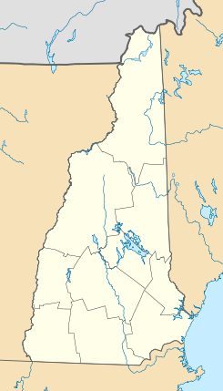
 Surry
Surry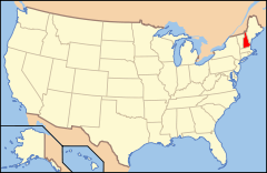
Ubicación de Nuevo Hampshire en EE. UU.Coordenadas: Entidad Pueblo • País  Estados Unidos
• Estado  Nuevo Hampshire
• Condado Cheshire Fundación 1769 Superficie • Total 41,3 km² • Tierra 40,48 km² • Agua (1,98%) 0,82 km² Altitud • Media 165 msnm Población (2010) • Total 732 hab. • Densidad 17,73 hab/km² Huso horario Este: UTC-5 • en verano UTC-4 Código ZIP 03431 Código de área 603 GNIS 873733[1] Sitio web oficial Surry es un pueblo ubicado en el condado de Cheshire en el estado estadounidense de Nuevo Hampshire. En el Censo de 2010 tenía una población de 732 habitantes y una densidad poblacional de 17,73 personas por km².[2]
Contenido
Geografía
Surry se encuentra ubicado en las coordenadas . Según la Oficina del Censo de los Estados Unidos, Surry tiene una superficie total de 41.3 km², de la cual 40.48 km² corresponden a tierra firme y (1.98%) 0.82 km² es agua.[3]
Demografía
Según el censo de 2010,[4] había 732 personas residiendo en Surry. La densidad de población era de 17,73 hab./km². De los 732 habitantes, Surry estaba compuesto por el 97.81% blancos, el 0.14% eran afroamericanos, el 0% eran amerindios, el 1.37% eran asiáticos, el 0% eran isleños del Pacífico, el 0.14% eran de otras razas y el 0.55% pertenecían a dos o más razas. Del total de la población el 0.55% eran hispanos o latinos de cualquier raza.[5]
Referencias
- ↑ «Sistema de Información de Nombres Geográficos: Surry (Nuevo Hampshire)». Geographic Names Information System (en inglés) Consultado el 19 de noviembre de 2011.
- ↑ «U.S. Gazetteer: Censo de 2010» (en inglés). Oficina del Censo de los Estados Unidos (16 de febrero de 2011). Consultado el 11 de julio de 2011.
- ↑ «Encuentra un condado» (en inglés). Asociación Nacional de Condados (11 de julio de 2011). Consultado el 11 de julio de 2011.
- ↑ «American FactFinder» (en inglés). Oficina del Censo de los Estados Unidos. Consultado el 11 de julio de 2011.
- ↑ «US Board on Geographic Names» (en inglés). Servicio Geológico de los Estados Unidos (25 de octubre de 2007). Consultado el 11 de julio de 2011.
Enlaces externos
 Portal:Nuevo Hampshire. Contenido relacionado con Nuevo Hampshire.
Categorías:- Pueblos de Nuevo Hampshire
- Localidades del condado de Cheshire


Wikimedia foundation. 2010.