Karakiya

Karakiya
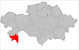
Ubicación del distrito en mapa nacional

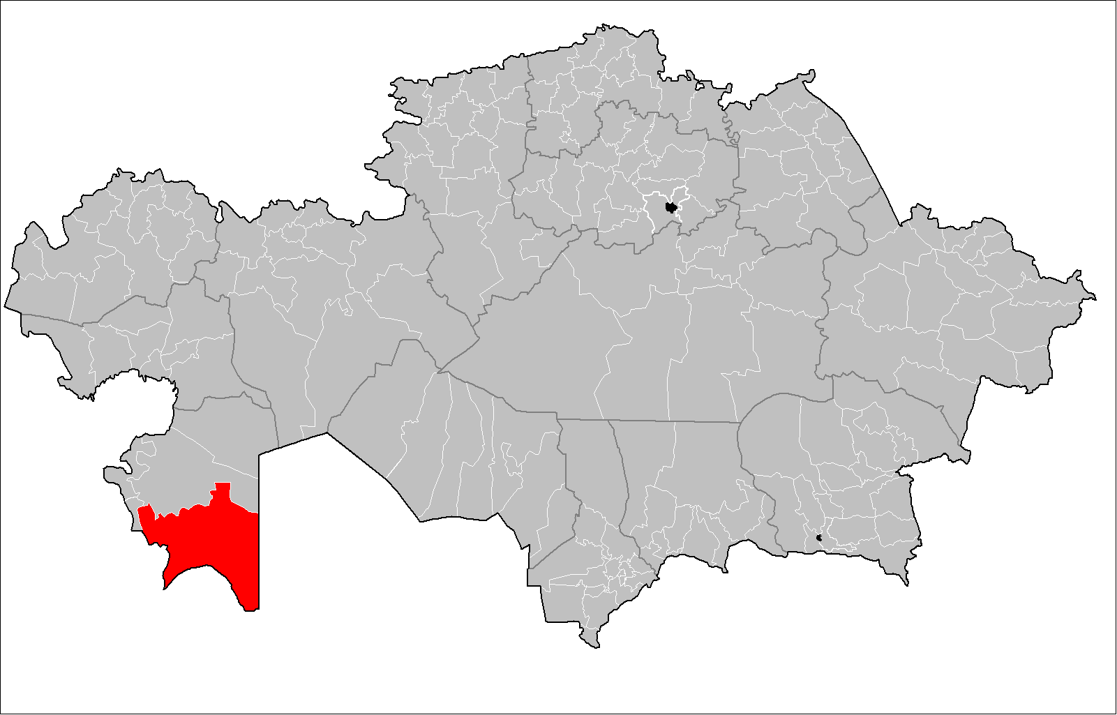
Karakiya (en kazajo Қарақия ауданы, en ruso Karakiyanskiy) es uno de los 5 distritos en los que se divide la provincia de Mangystau, Kazajistán.

Población

Según el Censo de 1999, tenía 23.437 habitantes. Para el Censo de 2009 la población había experimentado un ligero crecimiento contabilizándose 29.579 habitantes.[1]

Referencias


Wikimedia foundation. 2010.

Игры ⚽ Нужен реферат?

Mira otros diccionarios:

  • Karakiya District — Infobox Settlement name =Karakiya settlement type =District official name = Қарақия ауданы other name = native name = nickname = motto = imagesize = image caption = flag size = image seal size = image shield = shield size = image blank emblem =… …   Wikipedia

  • List of oldest companies — This list of the oldest companies includes brands and companies, excluding associations, educational, government or religious organisations. This list is taken from one restricted and geographically biased source, and because of the difficulty… …   Wikipedia

  • Zhanaozen — Janaozen / Zhanaozen Жаңаөзен …   Wikipedia

  • Mangystau Province — Маңғыстау облысы Мангистауская область   Province   Map of Kazakhstan, location of Mangystau Provi …   Wikipedia

  • Districts of Kazakhstan — Okresi of Kazakhstan The provinces of Kazakhstan are divided into 170 districts (pl. Kazakh: аудандар,audandar). The districts are listed below, by province …   Wikipedia

  • Mangystau District — Mangystau   District   Маңғыстау ауданы Country …   Wikipedia

  • Munaily District — Munaily   District   Мұнайлы ауданы …   Wikipedia

Compartir el artículo y extractos

Link directo
Do a right-click on the link above
and select “Copy Link”