- Kuala Sungai Baru
-
Kuala Sungai Baru
Kuala Sungai BaruLocalización en Malasia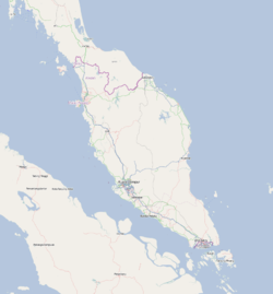
 Kuala Sungai Baru
País  Malasia
• Estado Malaca Ubicación • Altitud 6 msnm Población 12941[1] hab. (est 2010) Huso horario UTC+8 Kuala Sungai Baru (en malayo:Kuala Sungai Baru) es una localidad de Malasia, en el estado de Malaca.
Se encuentra a 6 m sobre el nivel del mar.
Demografía
Según estimación 2010 contaba con 12941 habitantes.[1]
Referencias
Categoría:- Localidades de Malaca

Wikimedia foundation. 2010.