- Shakargarh
-
Shakargarh
Shakargarh
شکرگڑھLocalización en Pakistán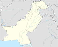
 Shakargarh
País  Pakistán
• Provincia Punyab Ubicación • Altitud 266 msnm Población 75813[1] hab. (est 2010) Huso horario UTC+5 Shakargarh es una localidad de Pakistán, en la provincia de Punyab.
Demografía
Según estimación 2010 contaba con 75813 habitantes.[1]
Referencias
Categoría:- Localidades de Pakistán

Wikimedia foundation. 2010.