- Tap Mun
-
Isla Tap Mun
塔門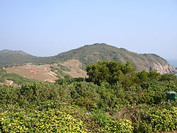
Vista de la islaLocalización País  China
ChinaRegión administrativa especial  Hong Kong
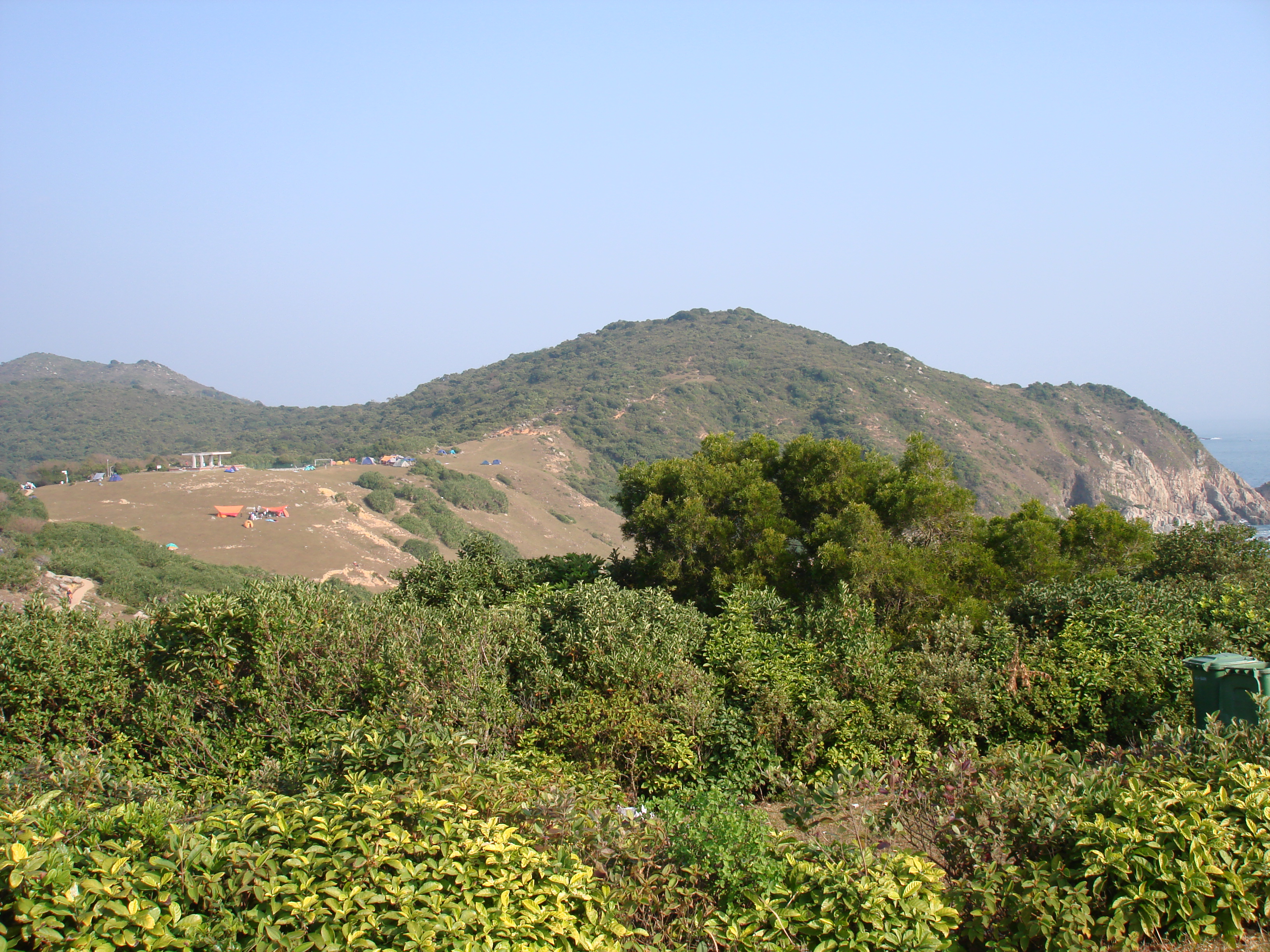
Coordenadas Coordenadas: Geografía Superficie 1,69 km² Punto más alto 125 m Demografía Población 100 La isla Tap Mun (chino: 塔門) y también escrito como «Tap Mun Chau», es una isla de la Región administrativa especial de Hong Kong, China, situada en la parte noreste del territorio entre la Bahía Mirs y el Canal del Norte. Su superficie es de 169 hectareas (1,69 km²).[1] Administrativamente, forma parte del distrito de Tai Po. Se encuentra al norte del parque Sai Kung en la península de Sai Kung. Al este se encuentra Kung Chau, al sur esta el Canal Meridional, al oeste esta Wan Tsai y hacia el suroeste esta Long Harbour.
El Departamento de Protección Ambiental tiene una estación de monitoreo de la contaminación atmosférica en la isla.
Hay alrededor de 100 personas que viven en la isla. En su apogeo, Toque Mun tenía 2.000 residentes. Sin embargo, muchos se trasladaron al centro de la ciudad. Ahora, muchos residentes poseen tiendas y restaurantes para turistas que van a la isla.
 una vaca en la isla
Los habitantes del pueblo son en su mayoría agricultores, comerciantes o pescadores. La última categoría ha disminuido recientemente ya que muchos jóvenes de familias de pescadores han optado por trabajar en la ciudad. Debido a la pérdida masiva de la población, la última escuela en la isla fue cerrada.
Véase también
Referencias
Enlaces externos
 Wikimedia Commons alberga contenido multimedia sobre Tap Mun. Commons
Categoría:- Archipiélagos e islas de Hong Kong

Wikimedia foundation. 2010.