- Tung Lung Chau
-
Isla Tung Lung Chau
东 龙 洲
Vista de la islaLocalización País  China
ChinaRegión administrativa especial  Hong Kong
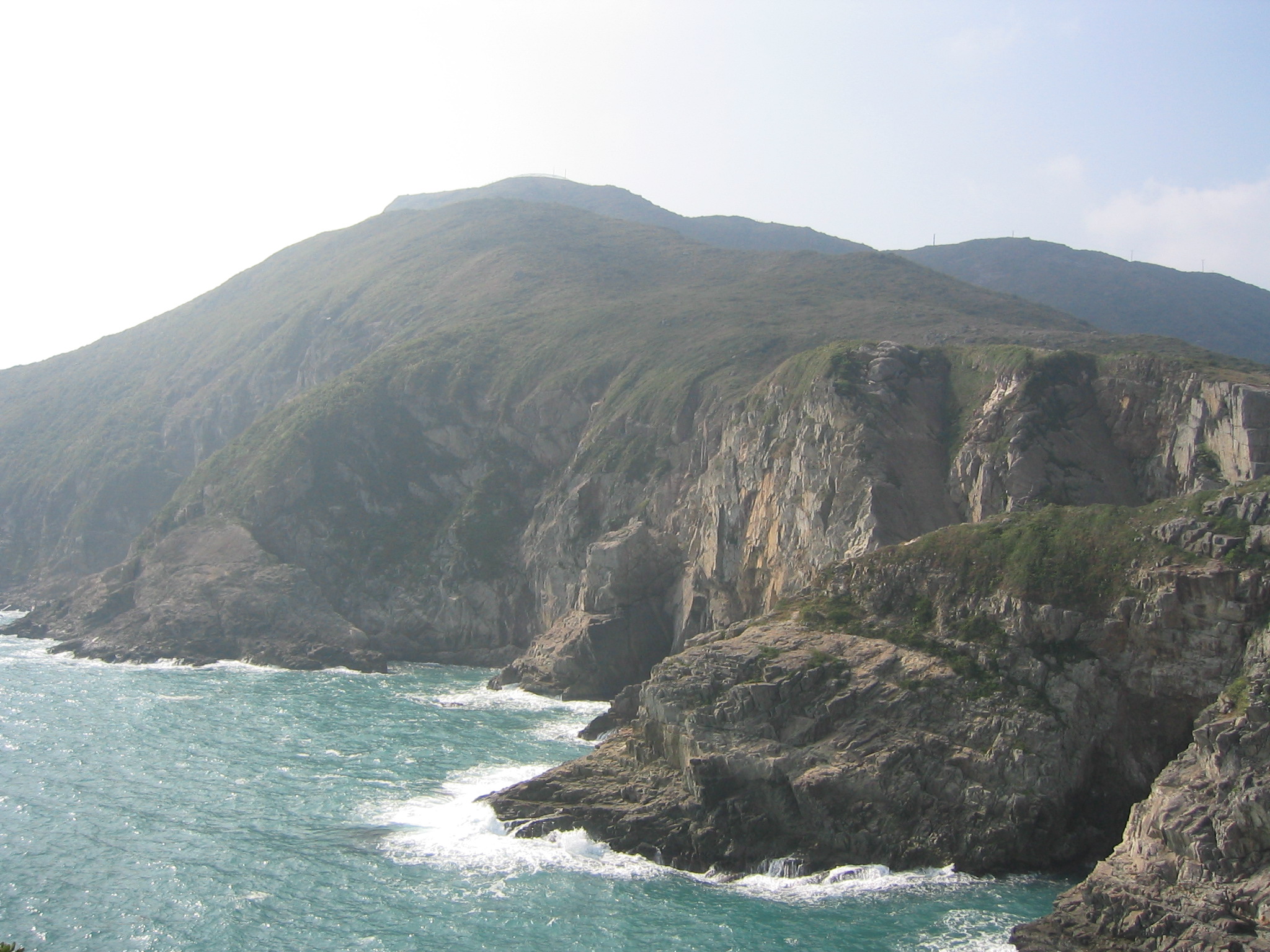
Coordenadas Coordenadas: Geografía Superficie 2,42 km² Tung Lung Chau (chino: 东 龙 洲, literalmente «isla del dragón oriental»), también conocida como Isla Nam Tong (南 堂 岛) es una isla situada frente a la punta de la península de la Bahía Clear Water en el sector de los "Nuevos Territorios", en la Región Administrativa especial de Hong Kong, China. La isla tiene una superficie de 2,42 km².[1] También se le conoce entre los locales como Tung Lung To o isla Tung Lung (东 龙 岛). La isla está prácticamente deshabitada. Administrativamente, pertenece al distrito Sai Kung
Es el lugar donde se encuentra el Fuerte Tung Lung, construido hace 300 años y recientemente restaurado. Una piedra prehistórica también se puede encontrar en la isla. De 180 cm por 240 cm, es la más grande roca antigua tallada en Hong Kong.[2] Tanto la fortaleza como la talla de piedra fueron declarados monumentos de Hong Kong.
La Zona de Especial del el Fuerte Tung Lung fue designada como tal en 1979 y abarca tres hectáreas (0,03 km²). El área contiene el fuerte y un sitio para acampar.[3]
Véase también
Referencias
Enlaces externos
 Wikimedia Commons alberga contenido multimedia sobre Tung Lung Chau. Commons
Categoría:- Archipiélagos e islas de Hong Kong
Wikimedia foundation. 2010.