Península de Iveragh

Península de Iveragh
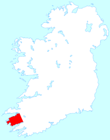
La península de Iveragh en Irlanda.

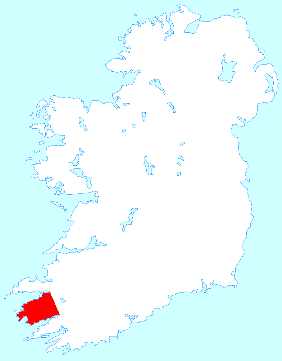
La Península de Iveragh (en inglés Iveragh Peninsula; en irlandés Uíbh Ráthach) es la mayor península de Irlanda. Está situada en el Condado de Kerry (Irlanda) y su centro está constituido por una cadena montañosa conocida como Macgillycuddy's Reeks, en la que se encuentra el Carrauntoohil, (1.039 metros), el monte más alto de Irlanda.

En la península de Iveragh hay numerosas localidades habitadas, entre las que se encuentran Killorglin, Cahersiveen, Portmagee, Waterville, Caherdaniel, Sneem y Kenmare. Además, el Anillo de Kerry, un popular recorrido turístico, rodea la península desde Killarney, situado al este.

La Isla de Valentia se sitúa en el extremo noroeste de la península, a la que está unida por un puente en la localidad de Portmagee, y por un ferry que va de Renard Point, en tierra firme, a Knightstown, en la isla. Por su parte, las Islas Skellig se encuentran a unos 12 km de la costa oeste, y son conocidas por su fauna, especialmente sus colonias de aves, y por albergar un antiguo monasterio cristiano.

Véase también


Enlaces externos

Coordenadas: 51°53′46″N 10°01′44″O / 51.89611, -10.02889


Wikimedia foundation. 2010.

Игры ⚽ Поможем решить контрольную работу

Mira otros diccionarios:

  • Iveragh Peninsula — The Iveragh Peninsula (Irish place name|Uíbh Ráthach|) is located in County Kerry in Ireland. It is the largest peninsula in southwestern Ireland. A mountain range, the Macgillycuddy s Reeks, lies in the centre of the peninsula. Carrauntoohil,… …   Wikipedia

  • Mountains of the Iveragh Peninsula — The Mountains of the Iveragh Peninsula are not found in a single mountain range, but instead consist of a number of unnamed mountain ranges found on the Iveragh Peninsula of County Kerry, in Ireland. The mountains dealt with here include all… …   Wikipedia

  • Dingle Peninsula — Location map of the Dingle Peninsula The Dingle Peninsula (Irish: Corca Dhuibhne anglicized as Corkaguiny, the name of the corresponding barony) is the northernmost of the major peninsulae in County Kerry. Its ends beyond the town of Dingle at… …   Wikipedia

  • Beara Peninsula — The Beara Peninsula ( ga. Béara) in Ireland is the southernmost of the main peninsulas on the south west coast, bounded between the Kenmare river (actually a bay) to the north side and Bantry Bay to the south. It has two mountain ranges running… …   Wikipedia

  • County Kerry — For other uses, see Kerry (disambiguation). County Kerry Contae Chiarraí Coat of arms …   Wikipedia

  • Geografía de Irlanda — Este artículo trata sobre el estado soberano de Irlanda. Para geografía de la isla del mismo nombre, véase Irlanda (isla). Geografía de Irlanda Continente …   Wikipedia Español

  • Inishowen — Localización de la península de Inishowen. Península de Inishowen …   Wikipedia Español

  • Corcu Duibne — The Dunbeg Fort on the Dingle Peninsula …   Wikipedia

  • Condado de Kerry — County Kerry Condado de Kerry Condado de Irlanda …   Wikipedia Español

  • Kenmare — An Neidín Kenmare Escudo …   Wikipedia Español

Compartir el artículo y extractos

Link directo
Do a right-click on the link above
and select “Copy Link”