Manuhangi

Manuhangi
Localización de Manuhangi en el archipiélago de Tuamotu

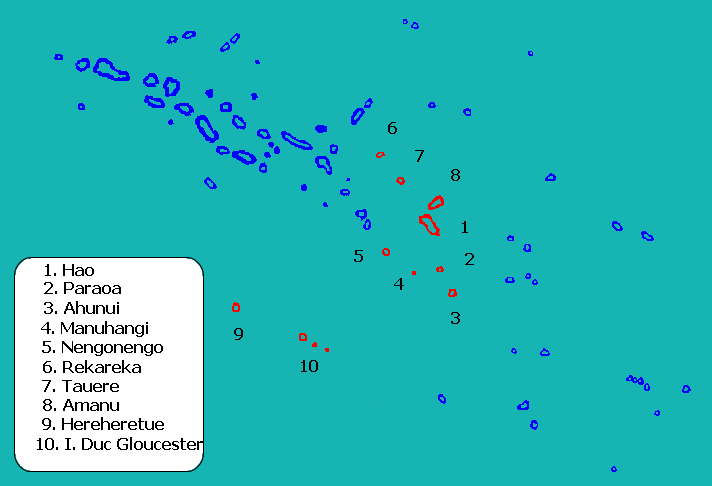
Manuhangi es un atolón de las Tuamotu, en la Polinesia Francesa, incluido en la comuna de Hao. Está situado a 900 km al sudeste de Tahití. Sus coordenadas son: 19°12′S 141°19′O / -19.2, -141.317.

Es un atolón pequeño, con una superficie total de 1 km². Está deshabitado, sin ninguna infraestructura. Fue descubierto en 1767 por el inglés Samuel Wallis que lo llamó Duke of Cumberland.


Wikimedia foundation. 2010.

Игры ⚽ Нужно сделать НИР?

Mira otros diccionarios:

  • Manuhangi — Photo satellite de la NASA Géographie Pays …   Wikipédia en Français

  • Manuhangi — Coordinates: 19°14′S 141°15′W / 19.233°S 141.25°W / 19.233; 141.25 …   Wikipedia

  • Manuhangi — Vorlage:Infobox Insel/Wartung/Höhe fehlt Manuhangi NASA Bild von Manuhangi Gewässer Pazifischer Ozean Archipel …   Deutsch Wikipedia

  • Te Fara — Manuhangi Manuhangi Photo satellite de la NASA Géographie Pays …   Wikipédia en Français

  • Tuamotus — Native name: Tuamotu Flag of the Tuamotu Islands …   Wikipedia

  • Paraoa — Paraoa, Tohora, or Hariri is a small atoll of the central Tuamotu Archipelago in French Polynesia. It is located 76 km south of Hao Atoll s westernmost point. The closest land is Manuhangi Atoll, 52 km to the east.Paraoa Atoll is oval in shape.… …   Wikipedia

  • Nengonengo — Coordinates: 18°46′S 141°48′W / 18.767°S 141.8°W / 18.767; 141.8 …   Wikipedia

  • Amanu-Atoll — Amanu NASA Bild von Amanu Gewässer Pazifischer Ozean Archipel Anzahl der Inseln …   Deutsch Wikipedia

  • Anuanurao — Anuanuraro NASA Bild von Anuanuraro Gewässer Pazifischer Ozean Archipel Anzahl der …   Deutsch Wikipedia

  • Hao-Atoll — NASA Aufnahme des Atolls Lage des Atolls im Pazifik (rot, 1) Hao ist der Name eines Atolls im Zentrum des Tuamotu Archipels, gelegen im …   Deutsch Wikipedia

Compartir el artículo y extractos

Link directo
Do a right-click on the link above
and select “Copy Link”