- Throgs Neck
-
Throgs Neck
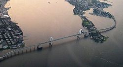 Vista aérea del Puente Throgs Neck atravesando Throggs Neck
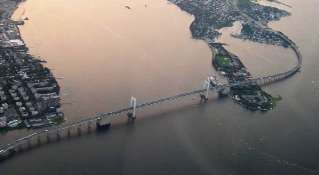
Throggs Neck (también escrito como, Throgs Neck) es un cordón litoral estrecho de tierra en la parte suroccidental del borough de el Bronx en la Ciudad de Nueva York. Que delimita el paso entre el Río Este y Long Island. "Throggs Neck" es también el nombre del barrio de la península, que limita al norte con la Avenida Tremont Este y la Avenida Baisley, al oeste con Westchester creek. Throggs Neck era en gran medida exenta de los graves efectos urbanos que afectaron a gran parte del Borough del Bronx, y cuenta con una diversa variedad de viviendas incluyendo vecindarios de media y clase media alta.[1]
Contenido
Transporte
- Bx5: hacia Pelham Bay Park o la Estación de la Calle Simpson (vía la Avenida Story)
- Bx8: hacia la estación de la Calle 225 o Locust Point (vía Williamsbridge Rd)
- Bx40/42: hacia Morris Heights (vía las Avenidas Tremont-Burnside)
- BxM9 Express: hacia Midtown
Cultura popular
- Summer of Sam, Law & Order: Special Victims Unit, y One Flew Over the Cuckoo's Nest son unas de las pocas películas y programas de televisión filmados en Throggs Neck.
- Además, el área es mencionada en una canción por The Mountain Goats, titulada "Going to Port Washington." La canción cuenta con la letra, "And as we crossed over the Throgs Neck Bridge / I had something on my mind."
- Awakenings con Robin Williams y Robert De Niro recibió un disparo.
Referencias
- ↑ «New York Times, If you're thinking of living in Throgs Neck». Consultado el 2006-11-02.
Enlaces externos
- Forgotten NY: Throgs Neck, NY
- Lighthouse Museum: Throgs Neck Lighthouse
- Preston High School
- New York Times Throcke's, Frog's, Throggs, or Throgs?
Categorías: El Bronx | Estrechos de Nueva York (estado) | Barrios del Bronx
Wikimedia foundation. 2010.