- Volgoréchensk
-
Волгоре́ченск
Volgoréchensk
Escudo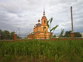
Iglesia ortodoxa.País Rusia • Región económica Centro • Distrito federal Central • Sujeto federal Óblast de Kostromá Ubicación Coordenadas: • Altitud 110 msnm Superficie 17,8 km² Fundación 1964 Población 17632[1] hab. (2009) Código postal 156901Pref. telefónico (+7) 49453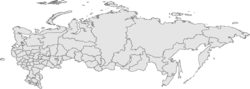
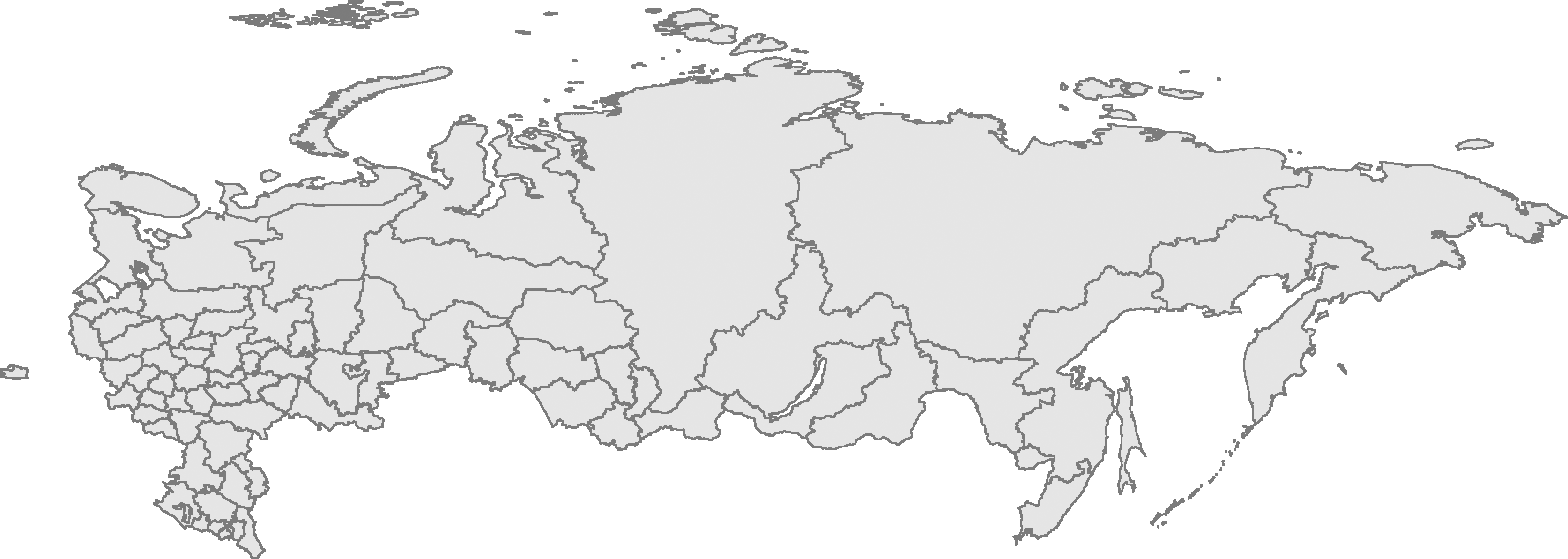
 VolgoréchenskLocalización en el mapa de Rusia
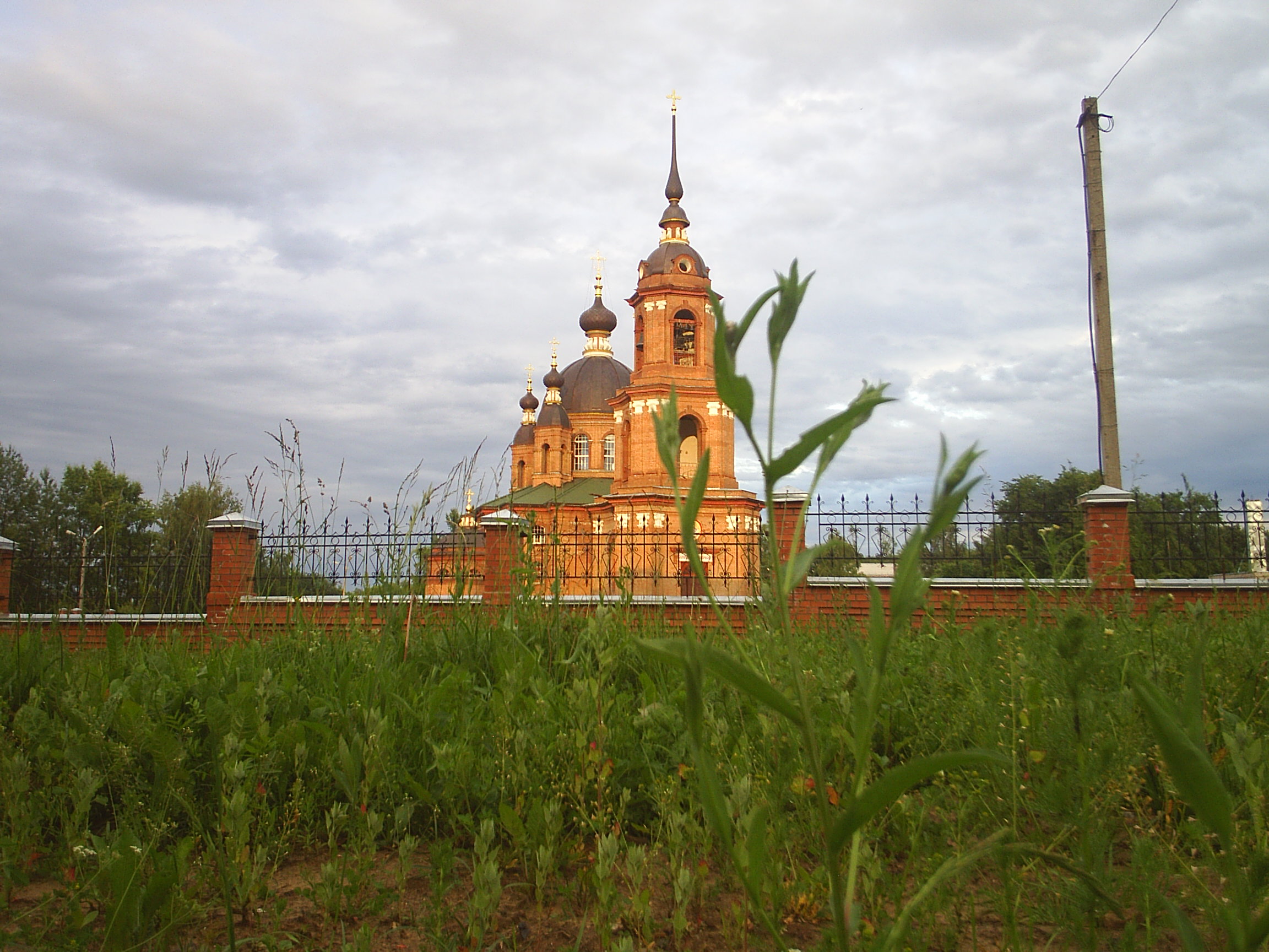
Volgoréchensk (en ruso: Волгоре́ченск) es una ciudad del óblast de Kostromá, Rusia, situada a la orilla derecha del río Volga. Volgoréchensk se fundó en 1964 como asentamiento de tipo urbano.
Referencias
Categoría:- Localidades del óblast de Kostromá
Wikimedia foundation. 2010.