- Jamtara
-
Jamtara Localidad de la India Ubicación de Jamtara en Jharkhand.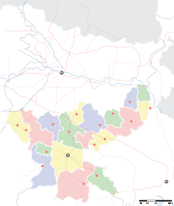
 Jamtara
जामताड़ा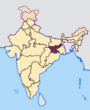
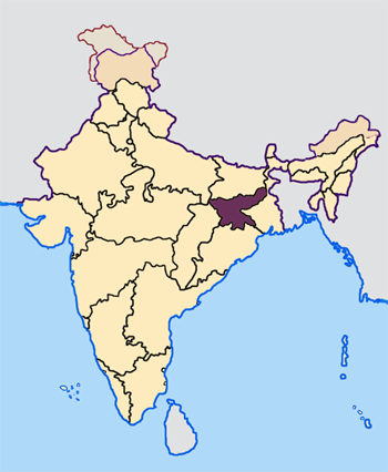
Ubicación de Jharkhand en India.Coordenadas: Entidad Localidad • País  India
India• Estado Jharkhand • Distrito Jamtara Altitud • Media 174 msnm Población (Est.2010[1] ) • Total 27.147 hab. Huso horario IST UTC +5:30 PIN[2] 815351 Código de área 06433 Jamtara (en hindi: जामताड़ा ) es una localidad de la India, centro administrativo del distrito de Jamtara en el estado de Jharkhand.
Contenido
Geografía
Se encuentra a una altitud de 174 msnm a 238 km de la capital estatal, Ranchi, en la zona horaria UTC +5:30.
Demografía
Según estimación 2010 contaba con una población de 27 147 habitantes.[1]
Referencias
Enlaces externos
Categoría:- Localidades de Jharkhand

Wikimedia foundation. 2010.