- Kerby (Oregón)
-
Kerby Lugar designado por el censo de los Estados Unidos Ubicación en el condado de Josephine en Oregón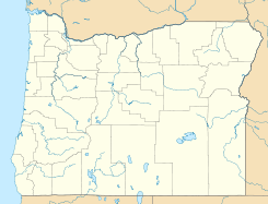
 Kerby
Kerby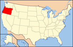
Ubicación de Oregón en EE. UU.Coordenadas: Entidad Lugar designado por el censo • País  Estados Unidos
• Estado  Oregón
• Condado Josephine Fundación 31 de marzo de 2010 Altitud • Media 382 msnm Población (2010) • Total 595 hab. Huso horario Pacífico: UTC-8 • en verano UTC-7 Código ZIP 97531 Kerby es un lugar designado por el censo ubicado en el condado de Josephine en el estado estadounidense de Oregón. En el año 2010 tenía una población de 595 habitantes.[1]
Geografía
Kerby se encuentra ubicado en las coordenadas Coordenadas: .[2]
Referencias
- ↑ «Encuentra un condado» (en inglés). Asociación Nacional de Condados (11 de julio de 2011). Consultado el 11 de julio de 2011.
- ↑ «American FactFinder» (en inglés). Oficina del Censo de los Estados Unidos. Consultado el 11 de julio de 2011.
Enlaces externos
 Portal:Oregón. Contenido relacionado con Oregón.
 Wikimedia Commons alberga contenido multimedia sobre Kerby (Oregón). Commons
Categorías:- Lugares designados por el censo en Oregón
- Localidades del condado de Josephine


Wikimedia foundation. 2010.