- McElhattan
-
McElhattan Lugar designado por el censo de los Estados Unidos Ubicación en el condado de Clinton en Pensilvania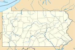
 McElhattan
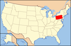
Ubicación de Pensilvania en EE. UU.Coordenadas: Entidad Lugar designado por el censo • País  Estados Unidos
• Estado  Pensilvania
• Condado Clinton Fundación 27 de julio de 2010 Superficie • Total 3,7 km² • Tierra 3,5 km² • Agua 0,2 km² Altitud • Media 170 msnm Población (2010) • Total 598 hab. • Densidad 161,62 hab/km² Huso horario Este: UTC-5 • en verano UTC-4 Código ZIP 17745 McElhattan es un lugar designado por el censo ubicado en el condado de Clinton en el estado estadounidense de Pensilvania.[1] En el año 2010 tenía una población de 598 habitantes.[2]
Geografía
McElhattan se encuentra ubicado en las coordenadas Coordenadas: .[3] . Según la Oficina del Censo de los Estados Unidos, McElhattan tiene una superficie total de 1,43 mi² (3,7 km²), de la cual 1,34 mi² (3,5 km²) corresponden a tierra firme y 0,09 mi² (0,2 km²) es agua.[4]
Referencias
- ↑ «U.S. Gazetteer: Censo de 2010» (en inglés). Oficina del Censo de los Estados Unidos (16 de febrero de 2011). Consultado el 11 de julio de 2011.
- ↑ «American FactFinder» (en inglés). Oficina del Censo de los Estados Unidos. Consultado el 11 de julio de 2011.
- ↑ «US Board on Geographic Names» (en inglés). Servicio Geológico de los Estados Unidos (25 de octubre de 2007). Consultado el 11 de julio de 2011.
- ↑ «Encuentra un condado» (en inglés). Asociación Nacional de Condados (11 de julio de 2011). Consultado el 11 de julio de 2011.
Enlaces externos
 Portal:Pensilvania. Contenido relacionado con Pensilvania.
 Wikimedia Commons alberga contenido multimedia sobre McElhattan. Commons
Categorías:- Localidades del condado de Clinton (Pensilvania)
- Lugares designados por el censo en Pensilvania


Wikimedia foundation. 2010.