Strawberry — (englisch: Erdbeere ) heißen die Orte und Flüsse Strawberry (Arkansas), Stadt in Lawrence County (Arkansas) Strawberry (Arizona), Stadt im Gila County, Arizona Strawberry (Nevada), statd im White Pine County, Nevada Strawberry River (Arkansas),… … Deutsch Wikipedia
Strawberry, El Dorado County, California — Strawberry is a small unincorporated community in El Dorado County, California, United States, along U.S. Route 50 in the foothills of the Sierra Nevada. The sign on the highway reads population 50 although it read population 0 since the 2000… … Wikipedia
Nevada State Route 892 — State Route 892 Strawberry Road Route information Maintained by NDOT Length … Wikipedia
Strawberry Creek — Geobox|River name = Strawberry Creek native name = other name = category = stream etymology = nickname = image caption = country = United States state = California region = Alameda County district = municipality = parent = tributary right =… … Wikipedia
Nevada State Route 487 — Basisdaten Gesamtlänge: 11.5 mi / 18,5 km Anfangspunkt: … Deutsch Wikipedia
U.S. Route 50 in Nevada — This article is about the section of U.S. Route 50 in Nevada. For the entire length of the highway, see U.S. Route 50. U.S. Route 50 The Loneliest Road in America Lincoln Highway … Wikipedia
Cherry Creek, Nevada — Cherry Creek Unincorporated community An abandoned building in Cherry Creek … Wikipedia
Osceola, Nevada — Osceola, Nevada, is a ghost town in the eastern part of the U.S. state of Nevada. The town was a placer camp devoted to mining gold. Gold was first discovered in 1872, followed by exploitation of the deposits using hydraulic mining techniques.… … Wikipedia
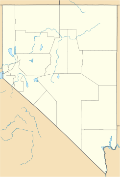
White Pine County, Nevada — Infobox U.S. County county = White Pine County state = Nevada map size = founded = 1869 seat = Ely | area total sq mi =8897 area land sq mi = 8876 area water sq mi =21 area percentage = 0.23% census yr = 2006 pop = 9542 density km2 = 040 web= www … Wikipedia
McGill, Nevada — CDP Downtown McGill … Wikipedia
 Strawberry
 Estados Unidos
 Nevada
 Portal:Nevada. Contenido relacionado con Nevada.
 Wikimedia Commons alberga contenido multimedia sobre Strawberry (Nevada). Commons
