Bayou Cane

Bayou Cane

Bayou Cane

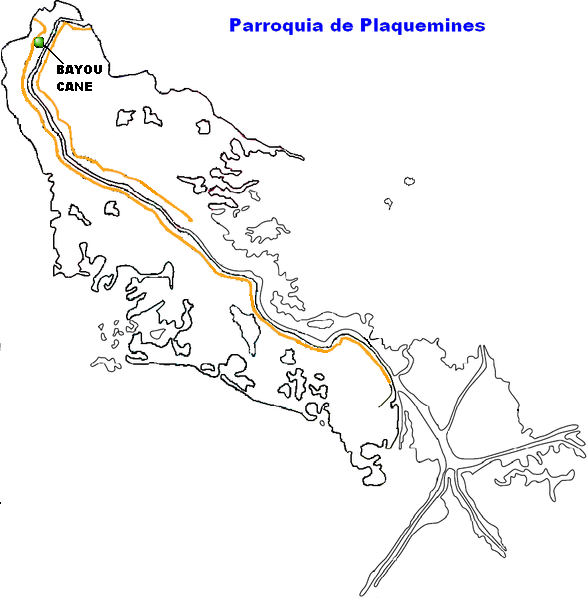
Localización de Bayou Cane en el mapa de la Parroquia de Plaquemines.

Bayou Cane es una pequeña comunidad ubicada sobre el delta del río Mississippi, dentro de la parroquia de Plaquemines, en el estado de Louisiana, Estados Unidos.

Geografía

La localidad de Bayou Cane se localiza en 29°80′02″N 90°01′72″O / 30.33389, -90.03667.[1] Esta comunidad posee sólo tres pies de elevación sobre el nivel del mar, convirtiendola una zona proclive a las inundaciones. Su población se compone de menos de doscientos habitantes. Esta comunidad se localiza a 19 kilómetros de Nueva Orleáns la principal ciudad de todo el estado, y a quinientos catorce kilómetros del aeropuerto internacional más cercano, el (IAH) Houston George Bush Intercontinental Airport.[2]

Referencias

Obtenido de "Bayou Cane"

Wikimedia foundation. 2010.

Игры ⚽ Поможем решить контрольную работу

Mira otros diccionarios:

  • Bayou Cane — Bayou Cane, LA U.S. Census Designated Place in Louisiana Population (2000): 17046 Housing Units (2000): 6609 Land area (2000): 7.639158 sq. miles (19.785327 sq. km) Water area (2000): 0.000000 sq. miles (0.000000 sq. km) Total area (2000):… …   StarDict's U.S. Gazetteer Places

  • Bayou Cane, LA — U.S. Census Designated Place in Louisiana Population (2000): 17046 Housing Units (2000): 6609 Land area (2000): 7.639158 sq. miles (19.785327 sq. km) Water area (2000): 0.000000 sq. miles (0.000000 sq. km) Total area (2000): 7.639158 sq. miles… …   StarDict's U.S. Gazetteer Places

  • Bayou Cane — Original name in latin Bayou Cane Name in other language State code US Continent/City America/Chicago longitude 29.6241 latitude 90.7512 altitude 5 Population 19355 Date 2011 05 14 …   Cities with a population over 1000 database

  • Bayou Cane, Louisiana — Geobox Town name = Bayou Cane native name = other name = other name1 = category = Census designated place image size = image caption = flag size = symbol = symbol size = symbol type = nickname = motto = country = United States state = Louisiana… …   Wikipedia

  • Houma-Bayou Cane-Thibodaux metropolitan area — Infobox Settlement official name = Houma Bayou Cane Thibodaux Metropolitan Area other name = native name = nickname = settlement type = motto = imagesize = image caption = flag size = image seal size = image shield = shield size = city logo =… …   Wikipedia

  • Cane Creek State Park — is a 2,053 acre (8 km²) park in southeastern Arkansas managed by the Arkansas Department of Parks and Tourism.Cane Creek State Park is located near Star City, Arkansas at the edge of the West Gulf Coastal Plain and the Mississippi Delta region.… …   Wikipedia

  • Louisiana — This article is about the U.S. state of Louisiana. For other uses, see Louisiana (disambiguation). State of Louisiana État de Louisiane Léta de la Lwizyàn …   Wikipedia

  • List of cities, towns, and villages in Louisiana — The following is a complete list of incorporated cities, towns, CDP. and villages in Louisiana, arranged in alphabetical order. Map of USA Louisiana …   Wikipedia

  • Des Allemands, Louisiana — Coordinates: 29°49′32″N 90°28′09″W / 29.82556°N 90.46917°W / 29.82556; 90.46917 …   Wikipedia

  • Chauvin, Louisiana — Coordinates: 29°26′49″N 90°35′37″W / 29.44694°N 90.59361°W / 29.44694; 90.59361 …   Wikipedia

Compartir el artículo y extractos

Link directo
Do a right-click on the link above
and select “Copy Link”