- Caherconnell
-
Caherconnell
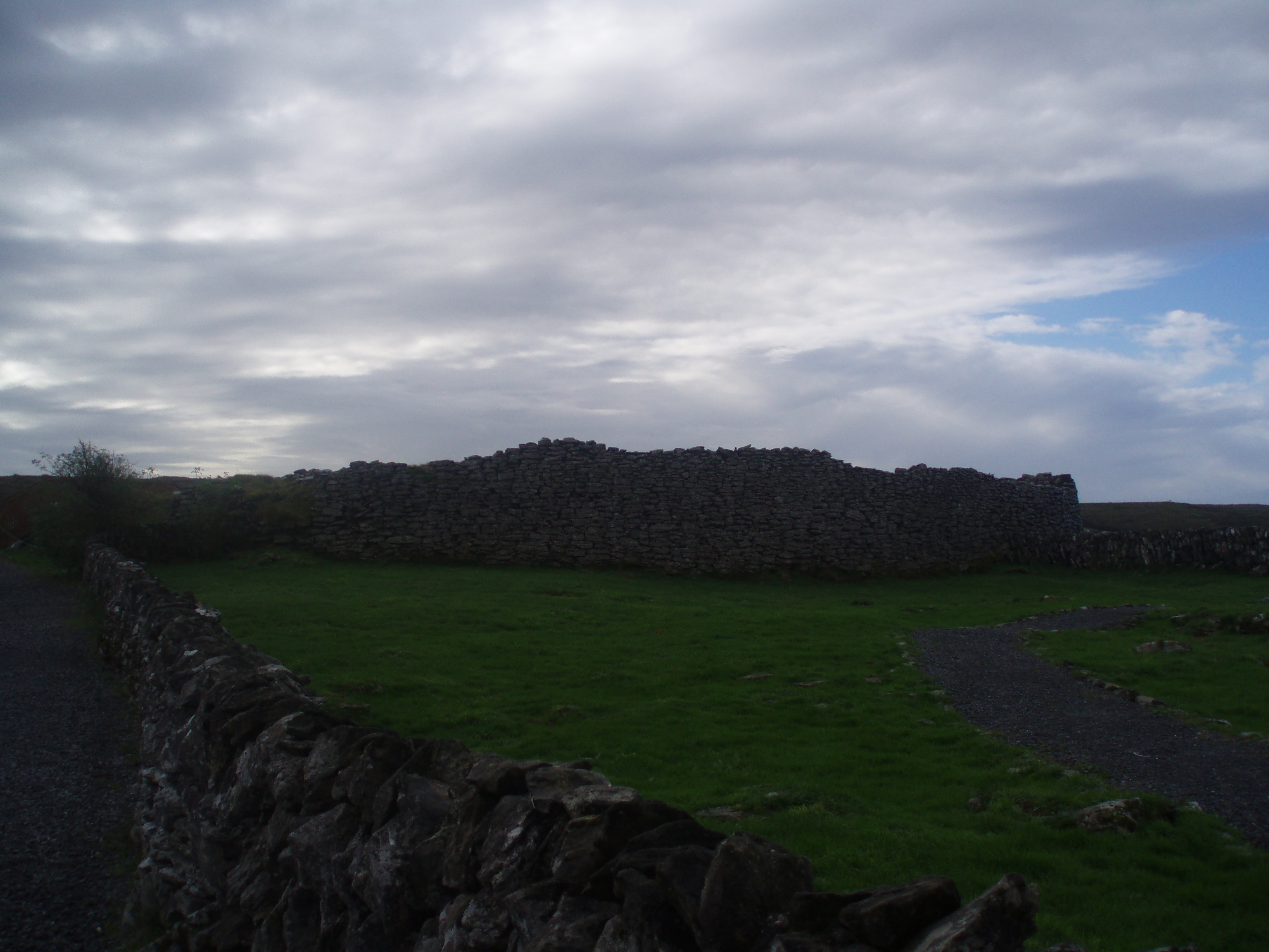
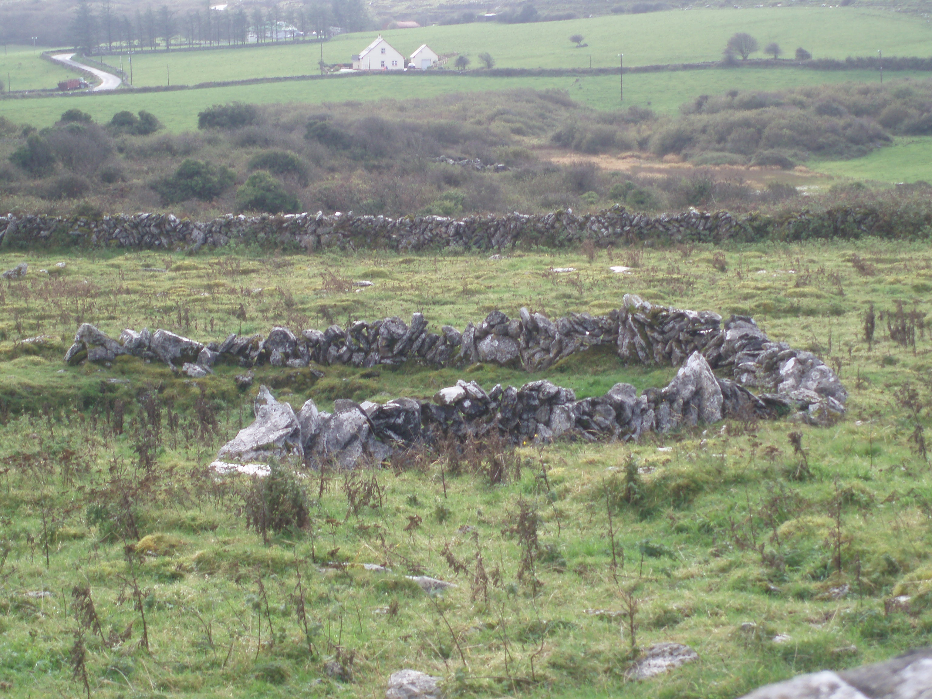
 Vista general del Fuerte de Caherconnell
El fuerte de Caherconnell, situado en la región conocida como El Burren, en el Condado de Clare (Irlanda) es un asentamiento arqueológico construido en torno al año 500 y que debió estar ocupado durante toda la Edad Media, quizás hasta el siglo XV. Aunque es denominado "fuerte", su principal misión no debía ser militar, sino servir de vivienda para una familia amplia de pastores y agricultores, y se cree que la altura y grosor de los muros podría servir como signo del poder de la familia ocupante.
Este tipo de fuertes circulares son muy comunes en el Burren y en toda Irlanda, pero el de Caherconnell es especialmente significativo por su buen estado de conservación. La disposición de los restos conservados actualmente parece responder a las reconstrucciones de los últimos habitantes, aunque la entrada debió ser originalmente distinta a la conservada actualmente.
El fuerte de Caherconnell está abierto al público y se encuentra cerca de otros sitios arqueológicos, como el dolmen de Poulnabrone
Galería
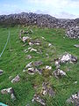
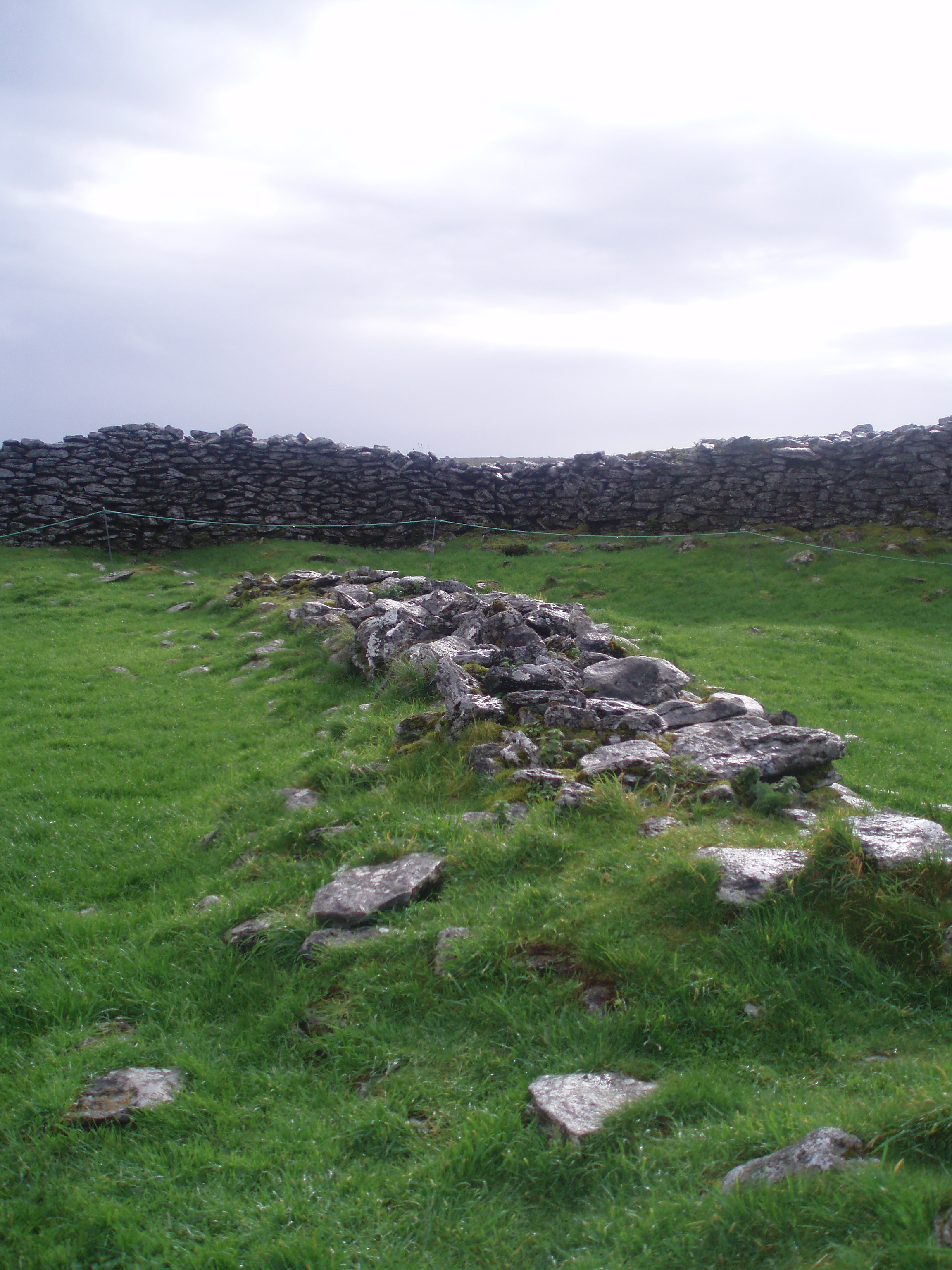
Cimientos de un edificio en el interior del fuerte de Caherconnell

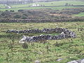
Muralla interior que divide el fuerte en dos mitades
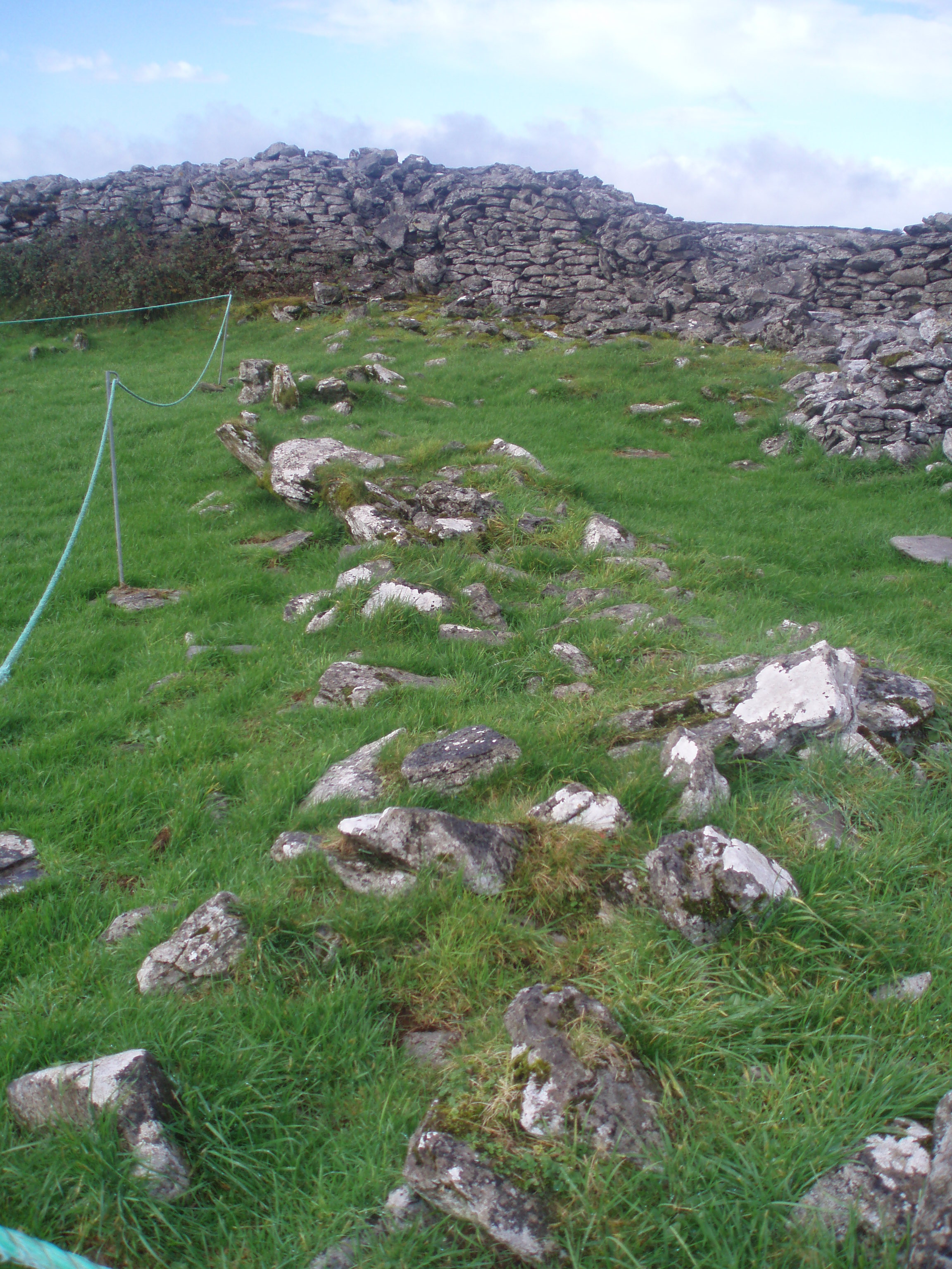
Ruinas de una edificación en el exterior del fuerte
Enlaces externos
Categoría: Historia medieval de Irlanda
Wikimedia foundation. 2010.