Covoada

Covoada

Covoada

Covoada
Escudo de la freguesía de Covoada
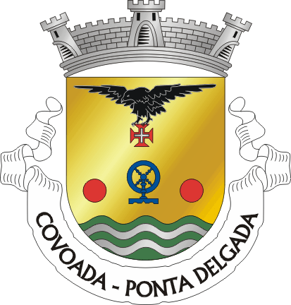
Escudo
Concelho Ponta Delgada
Área 9,92 km²
Población 1 259 hab. (2001)
Densidad 126,9 hab./km²
Santo patrón Nossa Senhora da Ajuda
Código postal 9500-xxx
Dirección de la
Junta de Freguesia
Avenida 6 de Janeiro
9500-406 Covoada
Dirección de
correo electrónico
covoada@mail.telepac.pt

Covoada es una freguesia portuguesa perteneciente al concejo de Ponta Delgada, situado en la Isla de São Miguel, Región Autónoma de Azores. Posee un área de 9,92 km² y una población total de 1 259 habitantes (2001). La densidad poblacional asciende a 126,9 hab/km². Se encuentra a una latitud de 37°46'N y una longitud 25°45'O. La freguesia se encuentra a msnm. La patrona de la freguesia es Nuestra Señora de la Ayuda, que se festeja el último domingo de agosto con una procesión. Fue creada el 15 de septiembre de 1980.

Freguesias próximas

Obtenido de "Covoada"

Wikimedia foundation. 2010.

Игры ⚽ Нужно сделать НИР?

Mira otros diccionarios:

  • covoada — s. f. Série de covas …   Dicionário da Língua Portuguesa

  • Covoada — Coordinates: 37°47′29″N 25°43′48″W / 37.79139°N 25.73°W / 37.79139; 25.73 …   Wikipedia

  • Районы автономного региона Азорские острова — …   Википедия

  • Ковоада — Район Ковоада Covoada Герб …   Википедия

  • Ponta Delgada, São Miguel Island — Infobox Municipality pt official name = Ponta Delgada image coat of arms = PDL.png Region = A.R. of Azores Subregion = A.R. of Azores District = A.R. of Azores Mayor name = Berta Maria Cabral Mayor party = PSD area total = 233.0 population total …   Wikipedia

  • List of postal codes in Portugal — Aveiro districtMealhada municipality*3050 Antes *3050 Barcouço *3050 Casal Comba *3050 Luso *3050 Mealhada *3050 Pampilhosa *3050 Vacariça *3050 Ventosa do BairroMurtosa municipality*3870 Bunheiro *3870 Monte *3870 Murtosa *3870 TorreiraOliveira… …   Wikipedia

  • Arrifes — is a parish in the district of Ponta Delgada in the Azores. The population in 2001 was 6,941, its density is 274.7/km² and the area is 25.27 km². It is located in the western part of the island of São Miguel and is connected by roads linking to… …   Wikipedia

  • Capelas — (pron. IPA2|kɐ pɛlɐʃ; Portuguese for chapels) is a parish in the northern part of the municipality of Ponta Delgada in the Azores. The population in 2001 is 3,759, its density is 223.2/km² and the area is 16.84 km². It is located in the northern… …   Wikipedia

  • Relva — is a parish in the district of Ponta Delgada in the Azores. The population in 2001 is 2,703, its density is 246.2/km² and the area is 10.98 km². Relva are surrounded by mountains near the area including an escarpment slightly east of Relva. It is …   Wikipedia

  • Ponta Delgada — Wappen Karte …   Deutsch Wikipedia

Compartir el artículo y extractos

Link directo
Do a right-click on the link above
and select “Copy Link”