Ifako-Ijaiye

Ifako-Ijaiye
Ifako-Ijaiye
Área de gobierno local de Nigeria
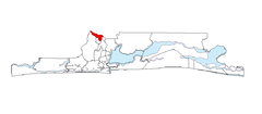
Ubicación de Ifako-Ijaiye
Entidad Área de gobierno local
 • País Bandera de Nigeria Nigeria
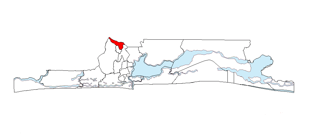
 • Estado Lagos
Superficie  
 • Total 26,6 km²
Población  
 • Total 427.878 hab.
 • Densidad 16,078 hab/km²

Ifako-Ijaiye es un Área de Gobierno local del Estado de Lagos, Nigeria. El Área del Gobierno Local de Ifako-Ijaiye se creo junto con otros 183 el 1 de octubre de 1995, por el entonces Jefe de Estado, Sanni Abacha.

Contenido

Geografía

El Gobierno Local de Ifako-Ijaiye limita en el Oeste con Alimosho, en el Este con Ikeja , en el Sur con Agege y en el Norte con Ifo y Ado-Odo/Otta (Gobiernos Locales del Estado de Ogun).

Demografía

Está habitada según el censo nacional del 2006 por personas, la mayoría pertenecen a la etnia Yoruba.El nivel de alfabetización del Gobierno Local es de aproximadamente 75%, y la mayoría de sus residentes son inmigrantes de diferentes partes de Lagos y de Nigeria en general.

Comunidades

Las Comunidades en Ifako-Ijaiye son:

  • Abule-Egba.
  • Abule Titun.
  • Ajegunle.
  • Alagbado.
  • Alakuko.
  • GbinrinmiWasimi.
  • Ifako Ijaiye-Ogba.
  • Ijaiye-Ojokoro.
  • Iju-Ishaga.
  • Iju Obawole.
  • Iju-Ogundimu.
  • Iju Station.
  • Ilupeju-Titun.
  • Oke Ira Akine.
  • Oko-Oba.

Enlaces externos


Wikimedia foundation. 2010.

Игры ⚽ Нужна курсовая?

Mira otros diccionarios:

  • Ifako-Ijaiye — is a local government area in the Ikeja Division of Lagos State, Nigeria.Links* [http://www.ifakoijaiyelg.com/ Ifako Ijaiye Local Government] …   Wikipedia

  • Ifako-Ijaiye — Admin ASC 2 Code Orig. name Ifako Ijaiye Country and Admin Code NG.05.7910346 NG …   World countries Adminstrative division ASC I-II

  • Lagos — For other uses, see Lagos (disambiguation). Lagos Èkó Lagos Island as seen from the harbour near Victoria Island …   Wikipedia

  • Lagos State —   State   Flag …   Wikipedia

  • Nigerian National Assembly delegation from Lagos — The Nigerian National Assembly delegation from Lagos comprises three Senators representing Lagos Central, Lagos East, and Lagos West, and twenty three Representatives representing Epe, Badagry, Ibeju Lekki, Eti Osa, Mushin I, Apapa, Somolu,… …   Wikipedia

  • Lagos (Nigeria) — Pour les articles homonymes, voir Lagos. Lagos Èkó …   Wikipédia en Français

  • Lagos — Para otros usos de este término, véase Lagos (desambiguación). Lagos Bandera …   Wikipedia Español

  • Schools in Nigeria — This is an incomplete list of Secondary Schools in Nigeria: Abuja (Federal capital territory) * American International School * The Capital Science Academy, Kuje * Federal Government Girls College Bwari * Funtaj High School, Kuje * I Q Academy *… …   Wikipedia

  • Mushin, Nigeria — Map showing Mushin in Lagos Mushin is a suburb of Lagos, located in Lagos State, Nigeria, and is one of Nigeria s 774 Local Government Areas.[1] It is located 10 km north of the Lagos city core, adjacent to the main road to Ikeja, and is a large …   Wikipedia

  • Local Government Areas of Nigeria — Local Government Areas of Nigeria …   Wikipedia

Compartir el artículo y extractos

Link directo
Do a right-click on the link above
and select “Copy Link”