- Ivybridge
-
Ivybridge 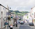
Bandera
EscudoPaís  Reino Unido
• País constituyente  Inglaterra
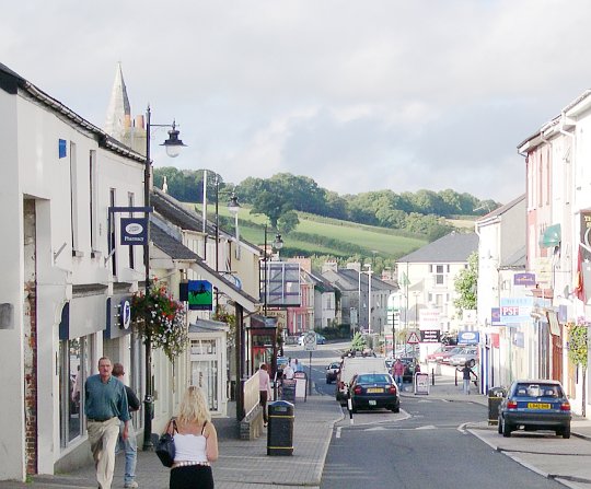
• Región Sudoeste de Inglaterra • Condado Devon • Distrito South Hams Ubicación • Altitud 40-100 msnm msnm Población 12326 hab. (2004[1] ) Pref. telefónico 01752Ivybridge es un pequeño pueblo y parroquia civil en el distrito de South Hams, Devon, Inglaterra, a 14 km al Este de Plymouth. Se encuentra en el extremo sur de Dartmoor, un parque nacional de Inglaterra. Es una ciudad dormitorio de la cercana Plymouth y posee una población de más de 12,000 habitantes.[2]
Referencias
- ↑ (en) Devon Town Baseline Profile de Devon County Council, Mayo, 2006
- ↑ Census statistics 1801-2001. Devon parishes: I-J (en inglés).
Categorías:- Localidades de Devon
- Comunidad de transición

Wikimedia foundation. 2010.