Rottumeroog

Rottumeroog

Rottumeroog

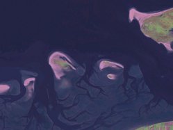
Imagen de satétite de Rottumeroog y Rottumerplaat

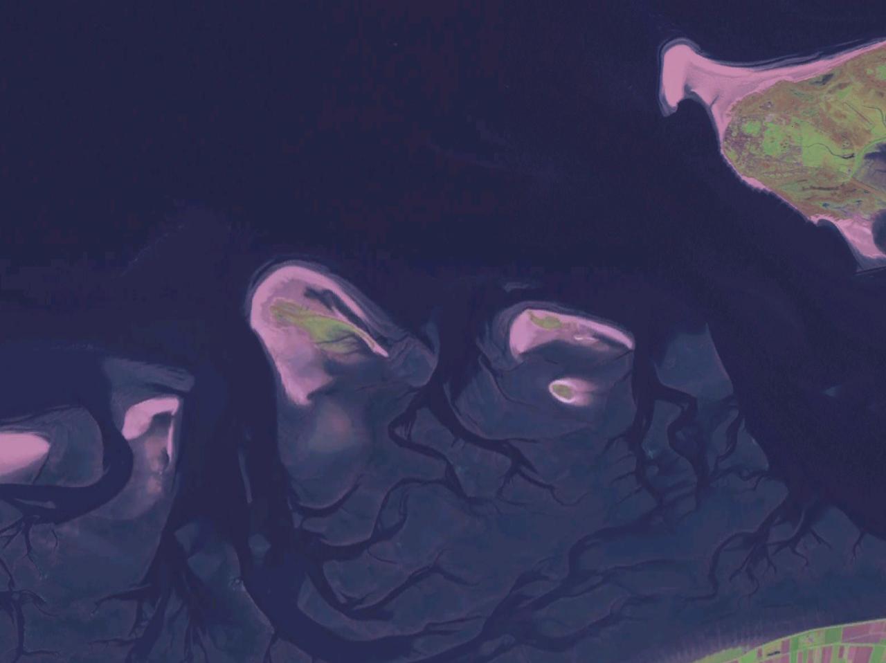
Rottumeroog es la más oriental de las islas Frisias neerlandesas (u occidentales). Está situada al este de Rottumerplaat y al oeste de Borkum, entre los mares del Norte y de Frisia.

El nombre significa isla (oog) de Rottum, un pueblecito de la provincia de Groninga situado entre Usquert y Kantens, en el municipio de Eemsmond. La razón es que allí había un antiguo monasterio llamado Santa Juliana que era el propietario. Posteriormente la isla pasó a manos públicas, y actualmente es una zona natural protegida de acceso prohibido. Tan sólo accedes dos veces al año grupos de voluntarios bajo guía del personal del Rijkswaterstaat para limpiar la basura que el mar trae.

La isla se mueve progresivamente hacia el este. Antiguamente sólo un estrecho llamado het Schil la separaba de Schiermonnikoog, mientras que actualmente hay Rottumerplaat en medio. Éste movimiento está ilustrado por el hecho de que hace doscientos años Rottumeroog estaba situada donde ahora está Rottumerplaat.

Geografía

  • Altitud: 2 metros.
  • Latitud: 53º 33' 00" N
  • Longitud: 006º 34' 59" E

Enlaces externos

www.xs4all.nl www.warffum.com

Obtenido de "Rottumeroog"

Wikimedia foundation. 2010.

Игры ⚽ Поможем сделать НИР

Mira otros diccionarios:

  • Rottumeroog — (or also known as Rottum) is one of the three islands that make up Rottum, a group of islands that are part of the West Frisian Islands archipelago. The island is situated off the Dutch coast in the North Sea. The island is named after the… …   Wikipedia

  • Rottumeroog —   [rɔtəmər oːx], östlichste der Westfriesischen Inseln, Provinz Groningen, Niederlande, gegenüber von Borkum, 4 km2, seit 1969 unbewohnt; Vogelbrutplatz. Westlich von Rottumeroog liegt die ebenfalls unbewohnte Insel Rottumerplaat (8 km lang) …   Universal-Lexikon

  • Rottumeroog — Vorlage:Infobox Insel/Wartung/Fläche fehltVorlage:Infobox Insel/Wartung/Höhe fehlt Rottumeroog …   Deutsch Wikipedia

  • Rottumeroog — 53°32′11″N 6°35′21″E / 53.53639, 6.58917 …   Wikipédia en Français

  • Rottumeroog — Sp Ròtiumerogas Ap Rottumeroog L s. V. Fryzų ss., Nyderlandai …   Pasaulio vietovardžiai. Internetinė duomenų bazė

  • Rottumeroog — Sp Ròtiumerogas Ap Rottumeroog L s. V. Fryzų ss., Nyderlandai, Olandija …   Pasaulio vietovardžiai. Internetinė duomenų bazė

  • Zuiderduintjes — Vorlage:Infobox Insel/Wartung/Fläche fehltVorlage:Infobox Insel/Wartung/Höhe fehlt Zuiderduintjes …   Deutsch Wikipedia

  • Rottumerplaat — Vorlage:Infobox Insel/Wartung/Fläche fehltVorlage:Infobox Insel/Wartung/Höhe fehlt Rottumerplaat Rottumerplaat mit Aussichtst …   Deutsch Wikipedia

  • Rottumerplaat — Saltar a navegación, búsqueda Rottumerplaat es una de las islas Frisias occidentales. Está deshabitada y pertenece administrativamente al municipio de Eemsmond, en la provincia de Groninga, Países Bajos. Contenido 1 Situación 2 Historia 3 …   Wikipedia Español

  • Westfriesische Inseln — Die Westfriesischen Inseln. Dazu zählen die Sandbänke und unbewohnten Inseln: 1. Noorderhaaks 2. Richel 3. Griend 4. Rif 5. Engelsmanplaat 6. Simonszand 7. Rottumerplaat 8. Rottumeroog Die Westfriesischen …   Deutsch Wikipedia

Compartir el artículo y extractos

Link directo
Do a right-click on the link above
and select “Copy Link”