Umm el-Jimal

Umm el-Jimal
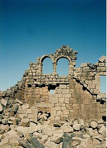
La doble ventana de la Casa XVIII en Umm el-Jimal, en 1993.

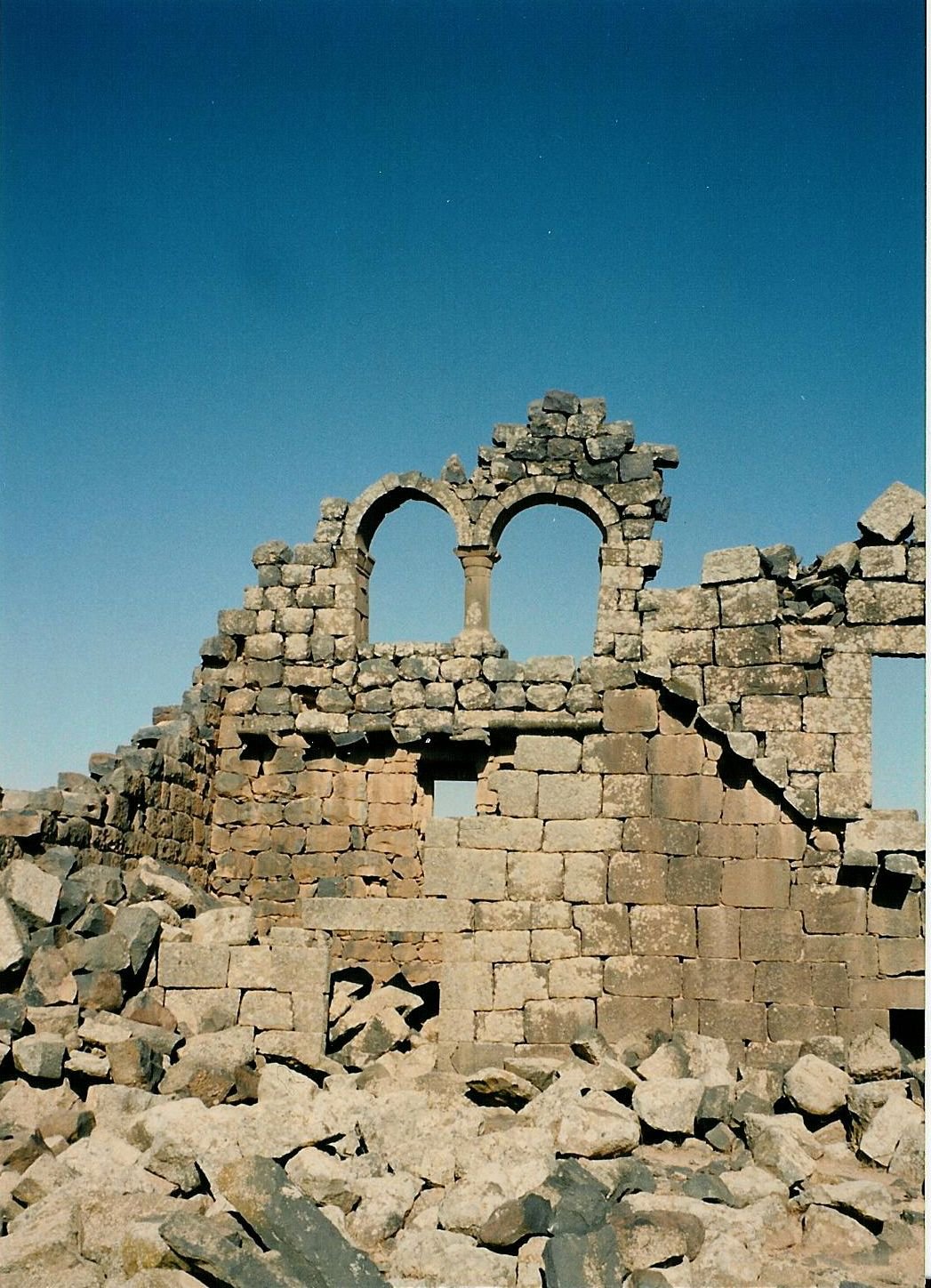
Umm el-Jimal (en árabe ام الجمال, "Madre de camellos") es una aldea situada en el norte de Jordania, a unos 17 km al oeste de Mafraq. Destaca principalmente por las notables ruinas de una ciudad bizantina (posteriormente islámica temprana) cuyos restos aún emergen visiblemente del suelo, así como por una villa romana situada al suroeste de los restos bizantinos.

La villa romana data del siglo II, y fue erigida tras la incorporación del reino de los nabateos al Imperio romano por parte de Trajano; perduró hasta mediados del siglo III, cuando fue destruida durante la rebelión contra los romanos dirigida por la reina Zenobia de Palmira.[1]

Posteriormente se erigió en el lugar un puesto militar durante las fases finales del Bajo Imperio, para proteger la frontera oriental. Una próspera comunidad rural se desarrolló en torno a este puesto, alcanzando su apogeo ya en época bizantina, hacia el siglo VI. Las posteriores epidemias y los conflictos bélicos acaecidos en la zona (las Guerras Romano-Sasánidas y la expansión musulmana) debilitaron a la comunidad, hasta que el terremoto del 748 dañó tan severamente la ciudad que nunca pudo recuperarse del mismo.[1]

El sitio permaneció deshabitado hasta principios del siglo XX, cuando una comunidad drusa ocupó Umm el-Jimal durante unos años, reutilizando las antiguas estructuras bizantinas, antes de abandonarlo de nuevo. El poblado actual fue establecido hacia 1950, y se construyó alrededor de los restos bizantinos.[1]

Referencias

  1. a b c de Vries, Bert. (1990) Umm el-Jimal "Gem of the Black Desert" : A Brief Guide to the Antiquities, Amman: Al Kutba. 8-12.

Enlaces externos

Coordenadas: 32°19′36″N 36°22′11″E / 32.32667, 36.36972


Wikimedia foundation. 2010.

Игры ⚽ Нужно сделать НИР?

Mira otros diccionarios:

  • Umm el-Jimal — village located to the southwest of the Byzantine ruins. History The village was first settled in the second century A.D. following the incorporation of the Nabatean empire into the Roman empire by Trajan. This settlement was destroyed in the… …   Wikipedia

  • Um el-jimal — 32° 19′ 36″ N 36° 22′ 11″ E / 32.32666, 36.36972 …   Wikipédia en Français

  • Um el-Jimal — 32° 19′ 36″ N 36° 22′ 11″ E / 32.32666, 36.36972 …   Wikipédia en Français

  • ИОРДАНИЯ — Петра. Гробница с урной. 1 я четв. I в. Петра. Гробница с урной. 1 я четв. I в. [Иорданское Хашимитское Королевство], гос во в Зап. Азии. Граничит на севере с Сирией, на северо востоке с Ираком, на востоке и юге с Саудовской Аравией, на западе с… …   Православная энциклопедия

  • Irbid — Infobox Settlement official name = Irbid City native name = مدينة إربد nickname = Bride of the North (عروس الشمال) imagesize = 250px image caption = pushpin pushpin label position = subdivision type =Country subdivision name = Jordan subdivision… …   Wikipedia

  • Tanukhids — The Tanûkhids or Tanukh were a confederation of Arab semi nomadic tribes, sometimes characterized as Bedouin Saracens. Like the Lakhmids, they first rose to promenince in northern Arabia in the third century BCE. Both Lakhmid and Tanukhid… …   Wikipedia

  • Early Byzantine mosaics in the Middle East — are a group of Christian mosaics created between the 4th and the 8th centuries in ancient Syria, Palestine and Egypt when the area belonged to the Byzantine Empire. The eastern provinces of the Eastern Roman and later the Byzantine Empires… …   Wikipedia

  • Geschichte der arabischen Schrift — Die Geschichte des arabischen Alphabets zeigt zahlreiche Veränderungen während ihrer Entstehung. Es wird angenommen, dass das arabische Alphabet ursprünglich vom nabatäischen entlehnt wurde, einer Variante der aramäischen (oder vielleicht der… …   Deutsch Wikipedia

Compartir el artículo y extractos

Link directo
Do a right-click on the link above
and select “Copy Link”