Whitechapel Road

Whitechapel Road
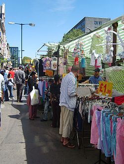
Mercado callejero en las afueras de la estacion de metro de Whitechapel.

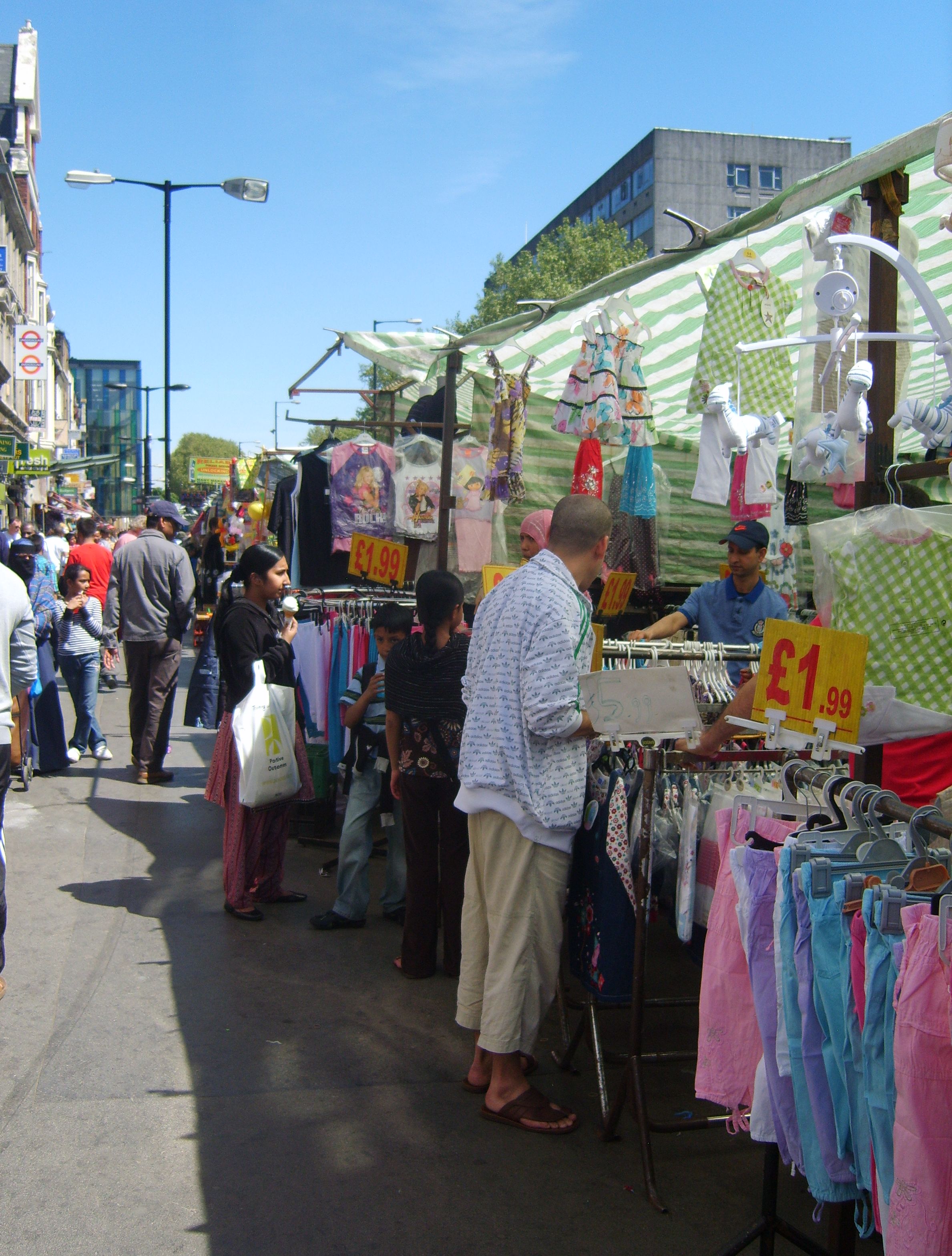
Whitechapel Road es una de las principales carreteras arteriales en el East End de Londres, Inglaterra. Conecta con Whitechapel High Street al oeste, con Mile End Road hacia el este y forma parte de A11 Road. Es la principal calle de tiendas en la zona de Whitechapel en Tower Hamlets y tiene un mercado callejero. El nombre se deriva de una pequeña capilla dedicada a la Virgen María.

La estación de metro de Whitechapel está en el lado norte de la carretera. Detrás de la estación de metro está el antiguo emplazamiento de Blackwall Buildings, viviendas filantrópicas construidas en 1890 y demolidas en 1969. Frente al sur está el Royal London Hospital. St Mary's tube station que se utilizaba en Whitechapel Road, pero fue cerrada en 1938. Fue utilizada como un refugio en la Segunda Guerra Mundial, pero fue destruido por los bombardeos en 1940.

Whitechapel Road es la segunda calle más barata en la versión británica del monopoly después de Old Kent Road.[1]

Referencias

Coordenadas: 51°31′06″N 0°03′48″O / 51.51833, -0.06333


Wikimedia foundation. 2010.

Игры ⚽ Поможем сделать НИР

Mira otros diccionarios:

  • Whitechapel Road — is a major arterial road in the East End of London, England. It connects Whitechapel High Street to the west with Mile End Road to the east and forms part of the A11 road. It is a main shopping street in the Whitechapel area of Tower Hamlets and… …   Wikipedia

  • St Mary’s (Whitechapel Road) — Das Stationsgebäude im Jahr 1916 Das Stationsgebäude kurz n …   Deutsch Wikipedia

  • Whitechapel tube station — Whitechapel is a London Underground station in Whitechapel in the East London borough of Tower Hamlets. It is located on Whitechapel Road (A11) and is in Zone 2.The station is on the Hammersmith City and District lines between Aldgate East and… …   Wikipedia

  • Whitechapel High Street — is a road in Whitechapel, in the East End of London connecting Aldgate High Street with Whitechapel Road. Now part of the A11 it was anciently part of the Roman road from London to Colchester. It was situated outside the perimeter of London Wall …   Wikipedia

  • Whitechapel — Infobox UK place country = England map type = Greater London region = London population = official name = Whitechapel latitude = 51.5165 longitude = 0.0750 constituency westminster = post town = LONDON postcode area = E postcode district = E1… …   Wikipedia

  • Whitechapel (London Underground) — Bahnsteige der East London Line Whitechapel ist eine unterirdische Station der London Underground im Stadtbezirk London Borough of Tower Hamlets. Sie liegt in der Travelcard Tarifzone 2, an der Kreuzung von Whitechapel Road und Brady Street. Hier …   Deutsch Wikipedia

  • Whitechapel — Mercado y entrada de metro de la calle Whitechapel. Historia El corazón de Whitechapel es Whitechapel High Street, que se extiende de hasta Whitechapel Road; desde allí se formó a partir de una pequeña capilla dedicada a Santa María. El primer… …   Wikipedia Español

  • Whitechapel — 51° 30′ 59″ N 0° 04′ 30″ W / 51.5165, 0.075 …   Wikipédia en Français

  • Whitechapel Bell Foundry — The Entrance to the Whitechapel Bell Foundry on Whitechapel Rd The Whitechapel Bell Foundry is a bell foundry in Whitechapel in the London Borough of Tower Hamlets, in the East End of London. The foundry is listed by the Guinness Book of Records… …   Wikipedia

  • Whitechapel Bell Foundry — Die Glockengießerei Whitechapel Bell Foundry entstand um 1670 und folgte auf Betriebe, die seit dem 15. Jahrhundert an der Whitechapel Road im East End von London Glocken herstellten. Sie gilt als die älteste Glockengießerei in England. Das… …   Deutsch Wikipedia

Compartir el artículo y extractos

Link directo
Do a right-click on the link above
and select “Copy Link”