- Furlow (Arkansas)
-
Furlow Área no incorporada de los Estados Unidos Ubicación en el condado de Lonoke en Arkansas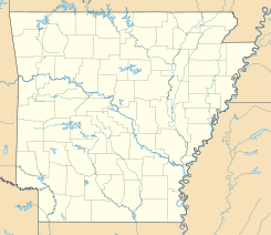
 Furlow
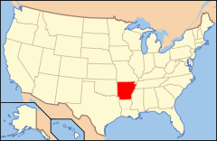
Ubicación de Arkansas en EE. UU.Coordenadas: Entidad Área no incorporada • País  Estados Unidos
• Estado  Arkansas
• Condado Condado de Lonoke Altitud • Media 79 msnm Huso horario Centro: UTC-6 • en verano UTC-5 GNIS 57781[1] Furlow es un área no incorporada ubicada en el condado de Lonoke en el estado estadounidense de Arkansas.[2]
Geografía
Furlow se encuentra ubicada en las coordenadas .[3]
Referencias
- ↑ «Sistema de Información de Nombres Geográficos: Furlow (Arkansas)». Geographic Names Information System (en inglés) Consultado el 20 de noviembre de 2011.
- ↑ «U.S. Gazetteer: Censo de 2010» (en inglés). Oficina del Censo de los Estados Unidos (16 de febrero de 2011). Consultado el 11 de julio de 2011.
- ↑ «Encuentra un condado» (en inglés). Asociación Nacional de Condados (11 de julio de 2011). Consultado el 11 de julio de 2011.
Enlaces externos
 Portal:Arkansas. Contenido relacionado con Arkansas.
Categorías:- Áreas no incorporadas de Arkansas
- Localidades del condado de Lonoke


Wikimedia foundation. 2010.