- Grahamsville
-
Grahamsville Área no incorporada de los Estados Unidos 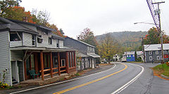
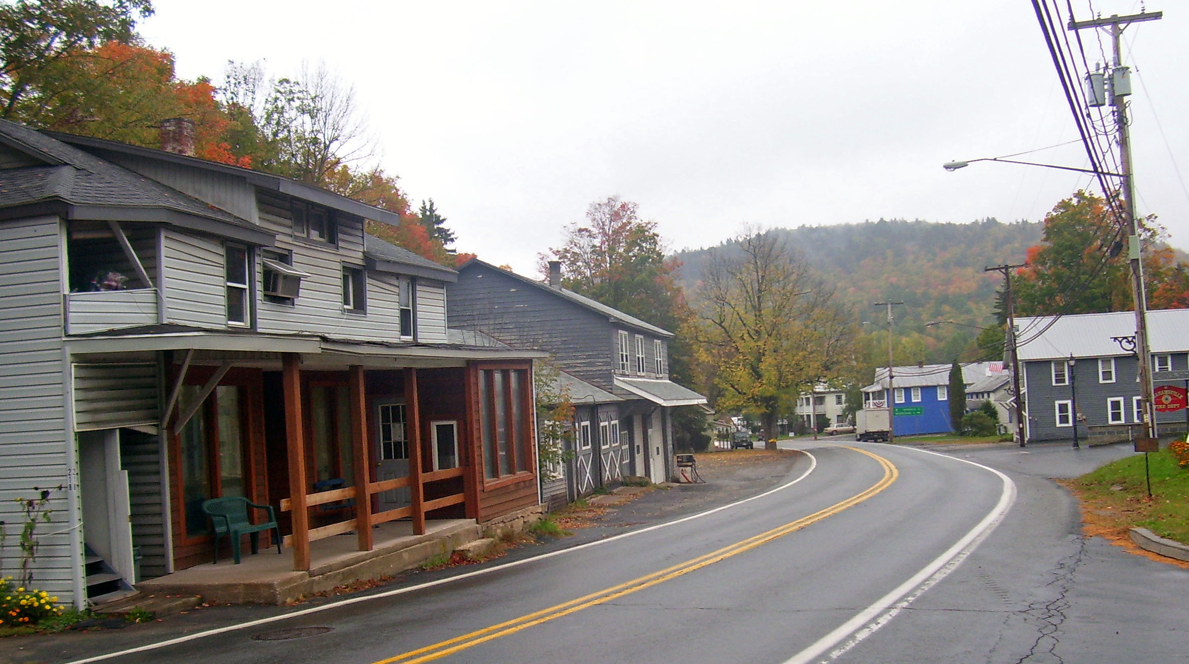
Centro de GrahamsvilleUbicación en el condado de Sullivan y en el estado de Nueva York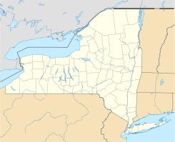
 Grahamsville
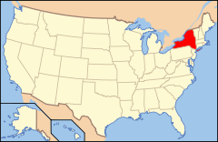
Ubicación de Nueva York en EE. UU.Coordenadas: Entidad Área no incorporada • País  Estados Unidos
• Estado  Nueva York
• Condado Sullivan Altitud • Media 295 msnm Huso horario Este: UTC-5 • en verano UTC-4 Código de área 845 Grahamsville es un área no incorporada (o aldea) ubicada en el condado de Sullivan en el estado estadounidense de Nueva York. Tiene una altura de 295 m sobre el nivel del mar.
Geografía
Grahamsville se encuentra ubicado en las coordenadas .[1]
Referencias
- ↑ «U.S. Gazetteer: Censo de 2010» (en inglés). Oficina del Censo de los Estados Unidos (16 de febrero de 2011). Consultado el 11 de julio de 2011.
Enlaces externos
 Portal:Nueva York. Contenido relacionado con Nueva York.
 Wikimedia Commons alberga contenido multimedia sobre Grahamsville. Commons
Categorías:- Áreas no incorporadas de Nueva York
- Localidades del condado de Sullivan


Wikimedia foundation. 2010.