- Guilsborough
-
Guilsborough Pueblo y parroquia civil del Reino Unido Ubicación en Northamptonshire.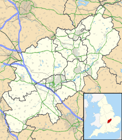
 Guilsborough
Coordenadas: Entidad Pueblo y parroquia civil • País  Reino Unido
• Nación constitutiva Inglaterra • Región Midlands del Este • Condado Northamptonshire • Distrito Daventry Población (2001) • Total 660 hab. Código postal NN6 Prefijo telefónico 01604 Guilsborough es un pueblo y una parroquia civil del distrito de Daventry, en el condado de Northamptonshire (Inglaterra).
Demografía
Según el censo de 2001,[1] Guilsborough tenía 660 habitantes (322 varones y 338 mujeres). 144 (21,82%) de ellos eran menores de 16 años, 464 (70,3%) tenían entre 16 y 74, y 52 (7,88%) eran mayores de 74. La media de edad era de 42,17 años. De los 516 habitantes de 16 o más años, 84 (16,28%) estaban solteros, 357 (69,19%) casados, y 75 (14,53%) divorciados o viudos. 235 habitantes eran económicamente activos, 304 de ellos (95,6%) empleados y otros 14 (4,4%) desempleados. Había 6 hogares sin ocupar, 266 con residentes y 3 eran alojamientos vacacionales o segundas residencias.
Evolución demográfica de Guilsborough 1801 1811 1821 1831 1841 1851 1861 1871 1881 1891 1901 1911 1921 1931 1941 1951 1961 758 770 950 1069 939 982 - - 517 558 513 535 501 466 - 489 459 (Fuente:Vision of Britain ) Referencias
- ↑ «Guilsborough» (en inglés). Office for National Statistics. Consultado el 25 de junio de 2011.
Enlaces externos
 Wikimedia Commons alberga contenido multimedia sobre Guilsborough. Commons
Categoría:- Localidades de Northamptonshire

Wikimedia foundation. 2010.