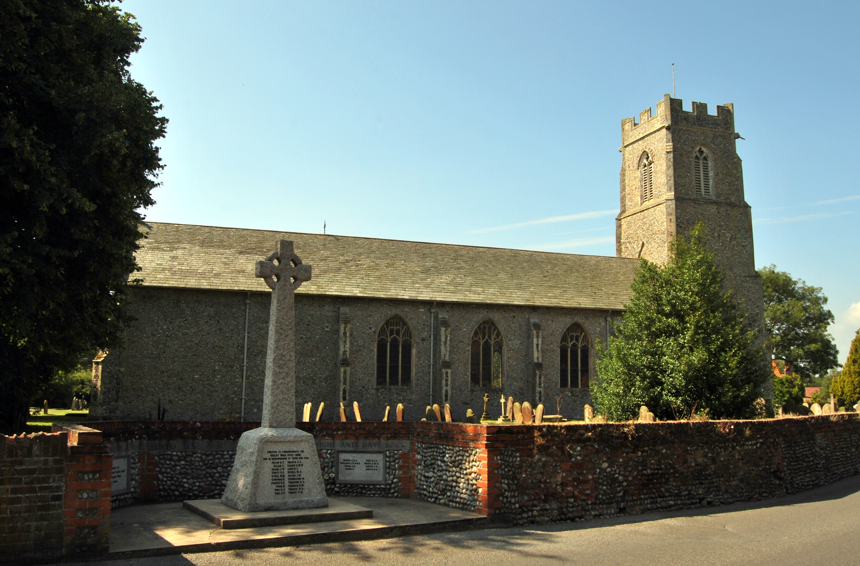
Hemsby

Hemsby
Hemsby
Pueblo y parroquia civil del Reino Unido
Hemsby, Norfolk, St Mary the Virgin and war memorial.jpg
Hemsby
Hemsby
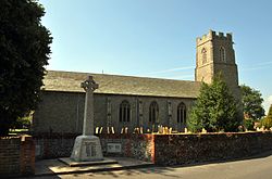
Ubicación en Norfolk.
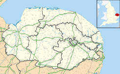
52°41′52.638″N 1°41′31.6674″E / 52.697955, 1.692129833Coordenadas: 52°41′52.638″N 1°41′31.6674″E / 52.697955, 1.692129833
Entidad Pueblo y parroquia civil
 • País Bandera del Reino Unido Reino Unido
 • Nación constitutiva Inglaterra
 • Región Este de Inglaterra
 • Condado Norfolk
 • Distrito Great Yarmouth
Población (2001)  
 • Total 2.973 hab.
Código postal NR29
Prefijo telefónico 01493

Hemsby es un pueblo y una parroquia civil del distrito de Great Yarmouth, en el condado de Norfolk (Inglaterra).

Demografía

Según el censo de 2001,[1] Hemsby tenía 2973 habitantes (1426 varones y 1547 mujeres). 475 de ellos (15,98%) eran menores de 16 años, 2176 (73,19%) tenían entre 16 y 74, y 322 (10,83%) eran mayores de 74. La media de edad era de 43,87 años. De los 2498 habitantes de 16 o más años, 548 (21,94%) estaban solteros, 1499 (60,01%) casados, y 451 (18,05%) divorciados o viudos. 1359 habitantes eran económicamente activos, 1289 de ellos (94,85%) empleados y 70 (5,15%) desempleados. Había 17 hogares sin ocupar, 1221 con residentes y 288 eran alojamientos vacacionales o segundas residencias.

Evolución demográfica de Hemsby
1801 1811 1821 1831 1841 1851 1861 1871 1881 1891 1901 1911 1921 1931 1941 1951 1961
367 436 498 560 591 739 - - 648 692 715 713 787 902 - 1169 1099
(Fuente:Vision of Britain )

Referencias

  1. «Hemsby» (en inglés). Office for National Statistics. Consultado el 19 de julio de 2011.

Enlaces externos


Wikimedia foundation. 2010.

Игры ⚽ Поможем решить контрольную работу

Mira otros diccionarios:

  • Hemsby — is a village, civil parish and seaside resort in the English county of Norfolk. It is situated some 12 km north of the town of Great Yarmouth.ref|osexp1 The civil parish has an area of 7.14 km² and in the 2001 census had a population of 2,973 in… …   Wikipedia

  • Hemsby — Original name in latin Hemsby Name in other language State code GB Continent/City Europe/London longitude 52.69714 latitude 1.69181 altitude 9 Population 5444 Date 2010 05 24 …   Cities with a population over 1000 database

  • Hemsby railway station — was a station in Hemsby, Norfolk. It was on the line between Melton Constable and Great Yarmouth. It is now closed. [ [http://web.ukonline.co.uk/berneyarms/html/yarmouth/rail/beach/beach.htm Yarmouth Beach Railway Station ] ] References Former… …   Wikipedia

  • Anglian Combination — Countries  England Founded …   Wikipedia

  • Pontin's — Infobox Company company name = Pontin s company company type = Private foundation = 1946 location = flagicon|UK Ainsdale, England, UK industry = Holiday parent = Ocean Parcs homepage = [http://www.pontins.com pontins.com] Pontins is a British… …   Wikipedia

  • Blood Hill wind farm — Geobox|Energy Plant name = Blood Hill wind farm |300px image caption =Blood Hill Wind Turbines official name = Blood Hill wind farm motto = symbol = country =England state = Norfolk region = East of England district =North Norfolk municipality… …   Wikipedia

  • Great Yarmouth (borough) — The Borough of Great Yarmouth is a local government district with borough status in Norfolk, England. It is named after its main town, Great Yarmouth.HistoryThe borough was formed on April 1, 1974, under the Local Government Act 1972, as a merger …   Wikipedia

  • Downham Town F.C. — Downham Town Full name Downham Town Football Club Nickname(s) Town Founded 1881 …   Wikipedia

  • Cromer Town F.C. — Cromer Town Full name Cromer Town Football Club Nickname(s) The Crabs Founded 1997 Ground Cabbell Park, Cromer …   Wikipedia

  • Martham railway station — Martham Location Place Martham Area Great Yarmouth Grid reference …   Wikipedia

Compartir el artículo y extractos

Link directo
Do a right-click on the link above
and select “Copy Link”