- Michalin (Janówek)
-
Michalin 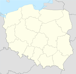
 MichalinLocalización en el mapa de Polonia
País  Polonia
• Voivodato Mazovia • Powiat Garwolin • Gmina Żelechów Ubicación Coordenadas: Población Polaco Huso horario Hora central europea (UTC+1)
Horario de verano europeo (UTC+2) en horario de verano.Código postal 08-430Michalin es un pueblo de Polonia, en Mazovia.[1] Se encuentra en el distrito (Gmina) de Żelechów, perteneciente al condado (Powiat) de Garwolin. Se encuentra aproximadamente a 4 km al suroeste de Żelechów, 22 km al sureste de Garwolin, y a 78 km al sureste de Varsovia.
Entre 1975 y 1998 perteneció al voivodato de Siedlce.
Referencias
- ↑ «Central Statistical Office (GUS) - TERYT (National Register of Territorial Land Apportionment Journal)» (en polaco) (01-06-2008).
Categoría:- Localidades de Mazovia

Wikimedia foundation. 2010.