- Wawarsing
-
Wawarsing Pueblo de los Estados Unidos 
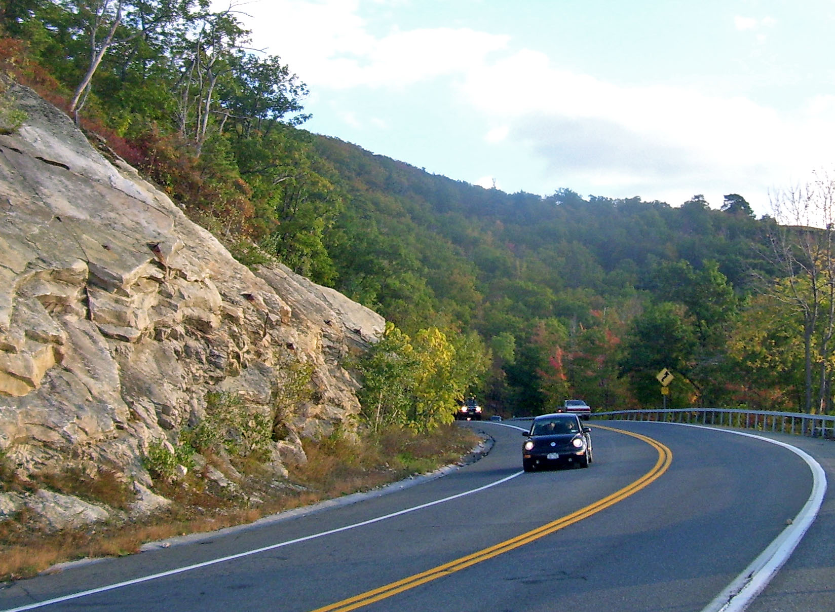
Una carretera de WawarsingUbicación en el condado de Ulster y en el estado de Nueva York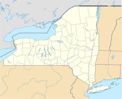
 Wawarsing
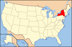
Ubicación de Nueva York en EE. UU.Coordenadas: Entidad Pueblo • País  Estados Unidos
• Estado  Nueva York
• Condado Ulster Superficie • Total 346,7 km² • Tierra 338 km² • Agua (2,32%) 8,1 km² Altitud • Media 367 msnm Población (2000) • Total 12.889 hab. • Densidad 1 hab/km² Huso horario Este: UTC-5 • en verano UTC-4 Código postal 12489 Prefijo telefónico 845 Sitio web oficial Wawarsing es un pueblo ubicado en el condado de Ulster en el estado estadounidense de Nueva York. En el año 2000 tenía una población de 12,889 habitantes y una densidad poblacional de 38 personas por km².
Geografía
Wawarsing se encuentra ubicado en las coordenadas . Según la Oficina del Censo, la ciudad tiene un área total de 346,7 km² (133,9 mi²), de la cual 338 km² (130,5 mi²) es tierra y 8,1 km² (3,1 mi²) (2.32%) es agua.[1]
Referencias
- ↑ «U.S. Gazetteer: Censo de 2010» (en inglés). Oficina del Censo de los Estados Unidos (16 de febrero de 2011). Consultado el 11 de julio de 2011.
Enlaces externos
 Portal:Nueva York. Contenido relacionado con Nueva York.
 Wikimedia Commons alberga contenido multimedia sobre Wawarsing. Commons
Categorías:- Localidades del condado de Ulster
- Pueblos de Nueva York


Wikimedia foundation. 2010.