- West Elizabeth
-
West Elizabeth Borough de los Estados Unidos 
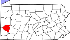
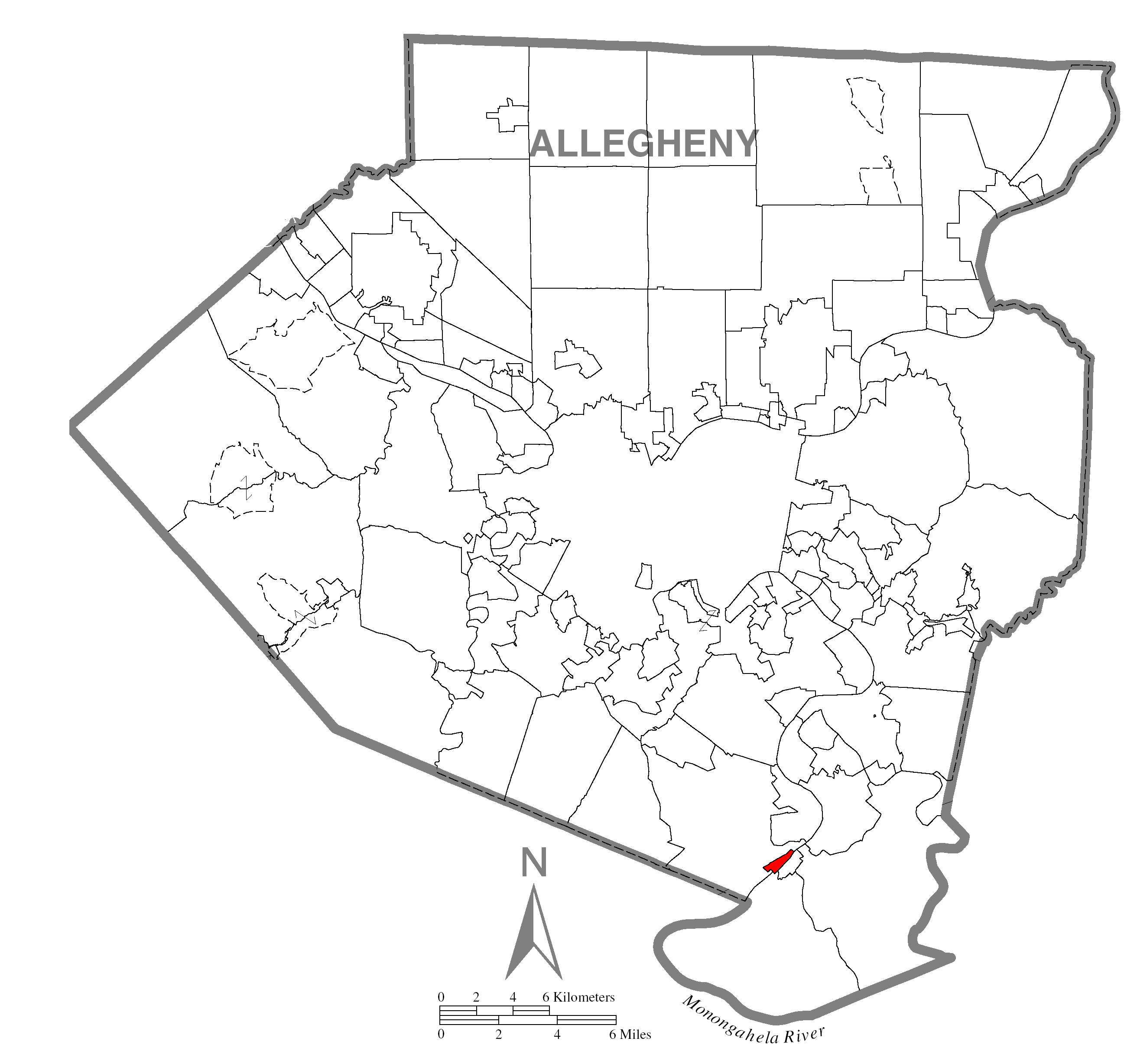
Ubicación en el condado de Allegheny
Ubicación del condado en Pensilvania
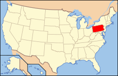
Ubicación de Pensilvania en EE. UU.Entidad Borough • País  Estados Unidos
• Estado  Pensilvania
• Condado Allegheny Superficie • Total 0,8 km² • Tierra 0,5 km² • Agua (27,59%) 0,3 km² Población (2000) • Total 565 hab. • Densidad 727.2 hab/km² Huso horario Este: UTC-5 • en verano UTC-4 Código ZIP 15088 West Elizabeth es un borough ubicado en el condado de Allegheny en el estado estadounidense de Pensilvania. En el año 2000 tenía una población de 565 habitantes y una densidad poblacional de 727.2 personas por km².[1]
Contenido
Geografía
West Elizabeth se encuentra ubicado en las coordenadas Coordenadas: [2] .
Demografía
Según la Oficina del Censo en 2000 los ingresos medios por hogar en la localidad eran de $26,339 y los ingresos medios por familia eran $32,500. Los hombres tenían unos ingresos medios de $36,667 frente a los $19,712 para las mujeres. La renta per cápita para la localidad era de $14,687. Alrededor del 15.5% de la población estaba por debajo del umbral de pobreza.[2]
Referencias
- ↑ «Encuentra un condado» (en inglés). Asociación Nacional de Condados (11 de julio de 2011). Consultado el 11 de julio de 2011.
- ↑ a b «U.S. Gazetteer: Censo de 2010» (en inglés). Oficina del Censo de los Estados Unidos (16 de febrero de 2011). Consultado el 11 de julio de 2011.
Enlaces externos
 Portal:Pensilvania. Contenido relacionado con Pensilvania.
 Wikimedia Commons alberga contenido multimedia sobre West Elizabeth. Commons
Categorías:- Boroughs de Pensilvania
- Localidades del condado de Allegheny


Wikimedia foundation. 2010.