- Steamburg
-
Steamburg Aldea de los Estados Unidos Ubicación en el condado de Cattaraugus y en el estado de Nueva York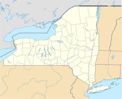
 Steamburg
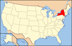
Ubicación de Nueva York en EE. UU.Coordenadas: Entidad Aldea • País  Estados Unidos
• Estado  Nueva York
• Condado Cattaraugus Huso horario Este: UTC-5 • en verano UTC-4 Código ZIP 14783 Steamburg es un área no incorporada (o conocidas como aldea) ubicada en el condado de Cattaraugus en el estado estadounidense de Nueva York. Steamburg se encuentra ubicada dentro del pueblo de Coldspring.[1]
Geografía
Steamburg se encuentra ubicada en las coordenadas .[2]
Referencias
- ↑ «U.S. Gazetteer: Censo de 2010» (en inglés). Oficina del Censo de los Estados Unidos (16 de febrero de 2011). Consultado el 11 de julio de 2011.
- ↑ «American FactFinder» (en inglés). Oficina del Censo de los Estados Unidos. Consultado el 11 de julio de 2011.
Enlaces externos
 Portal:Nueva York. Contenido relacionado con Nueva York.
 Wikimedia Commons alberga contenido multimedia sobre Steamburg. Commons
Categorías:- Áreas no incorporadas de Nueva York
- Localidades del condado de Cattaraugus


Wikimedia foundation. 2010.