- Sunnyside (Utah)
-
Sunnyside Ciudad de los Estados Unidos Ubicación en el condado de Carbon en Utah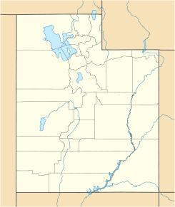
 Sunnyside
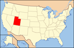
Ubicación de Utah en EE. UU.Coordenadas: Entidad Ciudad • País  Estados Unidos
• Estado  Utah
Utah• Condado Carbon Fundación 1879 Superficie • Total 8.1 km² • Tierra 8.1 km² • Agua (0%) km² Altitud • Media 1.955 msnm Población (2000) • Total 404 hab. • Densidad 49,7 hab/km² Huso horario MST: UTC-6 • en verano UTC-7 Código ZIP 84526 Código de área 435 Sunnyside es una ciudad ubicada en el condado de Carbon en el estado estadounidense de Utah. En el año 2000 tenía una población de 404 habitantes y una densidad poblacional de 49,7 personas por km².
Contenido
Geografía
Sunnyside se encuentra ubicado en las coordenadas Coordenadas: . Según la Oficina del Censo, la localidad tiene un área total de 8,1 km² (3,1 mi²), de la cual toda es tierra.[1]
Demografía
Según la Oficina del Censo en 2000,[2] habían 404 personas y 104 familias residentes en el lugar, 90,84% de los cuales eran personas de raza blanca.
Según la Oficina del Censo en 2000 los ingresos medios por hogar en la localidad eran de $32,955, y los ingresos medios por familia eran $36,875. Los hombres tenían unos ingresos medios de $39,688 frente a los $18,333 para las mujeres. La renta per cápita para la localidad era de $17,752. Alrededor del 15% de la población estaban por debajo del umbral de pobreza.[2]
Referencias
- ↑ «U.S. Gazetteer: Censo de 2010» (en inglés). Oficina del Censo de los Estados Unidos (16 de febrero de 2011). Consultado el 11 de julio de 2011.
- ↑ a b «American FactFinder» (en inglés). Oficina del Censo de los Estados Unidos. Consultado el 11 de julio de 2011.
Enlaces externos
 Portal:Utah. Contenido relacionado con Utah.
 Wikimedia Commons alberga contenido multimedia sobre Sunnyside (Utah). Commons
Categorías:- Localidades de Utah
- Localidades del condado de Carbon (Utah)


Wikimedia foundation. 2010.