- Thompson Springs (Utah)
-
Thompson Springs Lugar designado por el censo de los Estados Unidos Ubicación en el condado de Grand, Utah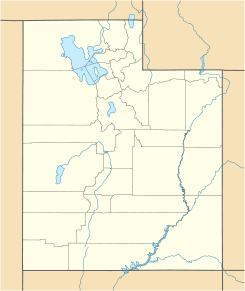
 Thompson Springs
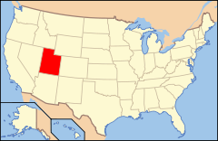
Ubicación de Utah en EE. UU.Coordenadas: Entidad Lugar designado por el censo • País  Estados Unidos
• Estado  Utah
Utah• Condado Grand • Fundación 1880 Superficie • Total 8.25 km² Altitud • Media 1599[1] msnm Población (2010) • Total 39 hab. • Densidad 4,72 hab/km² Huso horario MST: UTC-6 • en verano UTC-7 Código ZIP 84540 Código de área 435 Thompson Springs es un lugar designado por el censo situado en el condado de Grand, Utah (Estados Unidos). Según el censo de 2010 tenía una población de 39 habitantes.[2] [3]
Demografía
Según el censo de 2010,[4] Teasdale tenía una población en la que el 94,9% eran blancos, 0,0% afroamericanos, 0,0% amerindios, 0,0% asiáticos, 0,0% isleños del Pacífico, el 0,0% de otras razas, y el 5,1% pertenecían a dos o más razas. Del total de la población el 0,0% eran hispanos o latinos de cualquier raza.[5]
Referencias
- ↑ «Geographic Names Information System» (en inglés). Servicio Geológico de los Estados Unidos. Consultado el 11 de julio de 2011.
- ↑ «Encuentra un condado» (en inglés). Asociación Nacional de Condados (11 de julio de 2011). Consultado el 11 de julio de 2011.
- ↑ Oficina del Censo de los Estados Unidos (ed.): «U.S. Gazetteer: 2000 and 1990». Consultado el 10/07/2008.
- ↑ «American FactFinder» (en inglés). Oficina del Censo de los Estados Unidos. Consultado el 11 de julio de 2011.
- ↑ «U.S. Gazetteer: Censo de 2010» (en inglés). Oficina del Censo de los Estados Unidos (16 de febrero de 2011). Consultado el 11 de julio de 2011.
Enlaces externos
 Portal:Utah. Contenido relacionado con Utah.
Categorías:- Localidades del condado de Grand (Utah)
- Lugares designados por el censo en Utah


Wikimedia foundation. 2010.