- Trysull and Seisdon
-
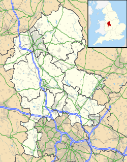
Trysull and Seisdon Parroquia civil del Reino Unido Ubicación de Trysull and Seisdon en Staffordshire. Coordenadas: Entidad Parroquia civil • País  Reino Unido
• Nación constitutiva Inglaterra • Región Midlands del Oeste • Condado Staffordshire • Distrito South Staffordshire Superficie • Total 13,78 km² Población (2001) • Total 1.092 hab. • Densidad 79,25 hab/km² Huso horario GMT (UTC0) • en verano BST (UTC +1) Código postal WV5 Prefijo telefónico 01902 Trysull and Seisdon es una parroquia civil del distrito de South Staffordshire, en el condado de Staffordshire (Inglaterra).
Contenido
Geografía
Según la Oficina Nacional de Estadística británica, Trysull and Seisdon tiene una superficie de 13,78 km².[1]
Demografía
Según el censo de 2001, Trysull and Seisdon tenía 1092 habitantes (49,08% varones, 50,92% mujeres) y una densidad de población de 79,25 hab/km². El 15,38% eran menores de 16 años, el 76,47% tenían entre 16 y 74, y el 8,15% eran mayores de 74. La media de edad era de 44,07 años. Del total de habitantes con 16 o más años, el 21,1% estaban solteros, el 64,94% casados, y el 13,96% divorciados o viudos.[2]
Según su grupo étnico, el 98,99% de los habitantes eran blancos, el 0,27% mestizos, y el 0,73% asiáticos. La mayor parte (97,71%) eran originarios del Reino Unido. El resto de países europeos englobaban al 1,19% de la población, mientras que el 1,1% había nacido en cualquier otro lugar. El cristianismo era profesado por el 87,44%, el budismo por el 0,27%, el hinduismo por el 0,37%, el sijismo por el 0,37%, y cualquier otra religión, salvo el judaísmo y el islam, por el 0,27%. El 6,51% no eran religiosos y el 4,77% no marcaron ninguna opción en el censo.[1]
Había 433 hogares con residentes y 18 vacíos.[2]
Referencias
- ↑ a b Tablas: «Usual Resident Population (KS01) for Amalgamated Parishes», «Ethnic Group (KS06) for Amalgamated Parishes», «Country of Birth (KS05) for Amalgamated Parishes» y «Religion (KS07) for Amalgamated Parishes», disponibles para descarga aquí. Office for National Statistics (inglés).
- ↑ a b «Area: Trysull and Seisdon CP (Parish)» (en inglés). Office for National Statistics. Consultado el 11 de septiembre de 2011.
Enlaces externos
Categoría:- Parroquias civiles de Staffordshire
Wikimedia foundation. 2010.

