Pruillé-le-Chétif

Pruillé-le-Chétif

Pruillé-le-Chétif

Pruillé-le-Chétif
País Bandera de Francia Francia
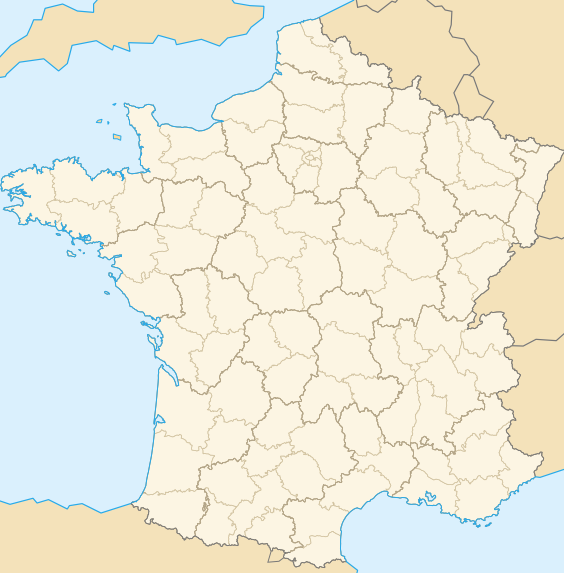
• Región Países del Loira
• Departamento Sarthe
• Distrito distrito de Le Mans
• Cantón cantón de Allonnes (Sarthe)
• Mancomunidad Communauté de communes du Bocage Cénomans
Ubicación 47°59′37″N 0°06′34″E / 47.99361111, 0.10944444447°59′37″N 0°06′34″E / 47.99361111, 0.109444444
• Altitud n/d
(mín.: 52, máx.: 128)
Superficie 10,30 km²
Población 1.222 hab. (1999)
• Densidad 118,64 hab./km²
Gentilicio Pruilléens (en francés)
Código postal 72700
Alcalde [[]]
2001 - 2008
Código INSEE 72247
Ubicación de Pruillé-le-Chétif en Francia

Pruillé-le-Chétif es una población y comuna francesa, situada en la región de Países del Loira, departamento de Sarthe, en el distrito de Le Mans y cantón de Allonnes (Sarthe).

Demografía

Datos de población
1962 1968 1975 1982 1990 1999
528 555 594 771 1036 1222
Para los censos de 1962 a 1999 la población legal corresponde a la población sin duplicidades, según define el INSEE.

Enlaces externos

Obtenido de "Pruill%C3%A9-le-Ch%C3%A9tif"

Wikimedia foundation. 2010.

Игры ⚽ Поможем написать реферат

Mira otros diccionarios:

  • Pruille-le-Chetif — Pruillé le Chétif Pruillé le Chétif Administration Pays France Région Pays de la Loire Département Sarthe Arrondissement Le Mans Canton …   Wikipédia en Français

  • Pruillé-le-chétif — Administration Pays France Région Pays de la Loire Département Sarthe Arrondissement Le Mans Canton …   Wikipédia en Français

  • Pruillé-le-Chétif — is a village and commune in the Sarthe département of France, in the région Pays de la Loire.ee alsoCommunes of the Sarthe department …   Wikipedia

  • Pruillé-le-Chétif — 47° 59′ 37″ N 0° 06′ 34″ E / 47.99361111, 0.109444444 …   Wikipédia en Français

  • Pruille-le-Chetif — Original name in latin Pruill le Chtif Name in other language Pruille, Pruill State code FR Continent/City Europe/Paris longitude 47.99383 latitude 0.10677 altitude 99 Population 1282 Date 2009 02 10 …   Cities with a population over 1000 database

  • Montreuil-le-Chétif — Montreuil le Chétif …   Wikipedia

  • Saint-Georges-du-Bois (Sarthe) — Pour les articles homonymes, voir Saint Georges du Bois. 47° 58′ 22″ N 0° 05′ 59″ E …   Wikipédia en Français

  • Fay (Sarthe) — Pour les articles homonymes, voir Fay. 48° 00′ 32″ N 0° 04′ 17″ E …   Wikipédia en Français

  • Le Mans — For other uses, see Le Mans (disambiguation). Le Mans Palais of Comtes du Maine, birth place of Henry II of England …   Wikipedia

  • Communes of the Sarthe department — The following is a list of the 375 communes of the Sarthe département, in France. (CUM) Communauté urbaine du Mans, created in 1971. (CUA) Communauté urbaine d Alençon, created in 1996, most of which is located in the Orne département. INSEE code …   Wikipedia

Compartir el artículo y extractos

Link directo
Do a right-click on the link above
and select “Copy Link”