Itapetinga

Itapetinga


Município de Itapetinga
Itapetinga
Bandera de Itapetinga
Bandera
Escudo de Itapetinga
Escudo
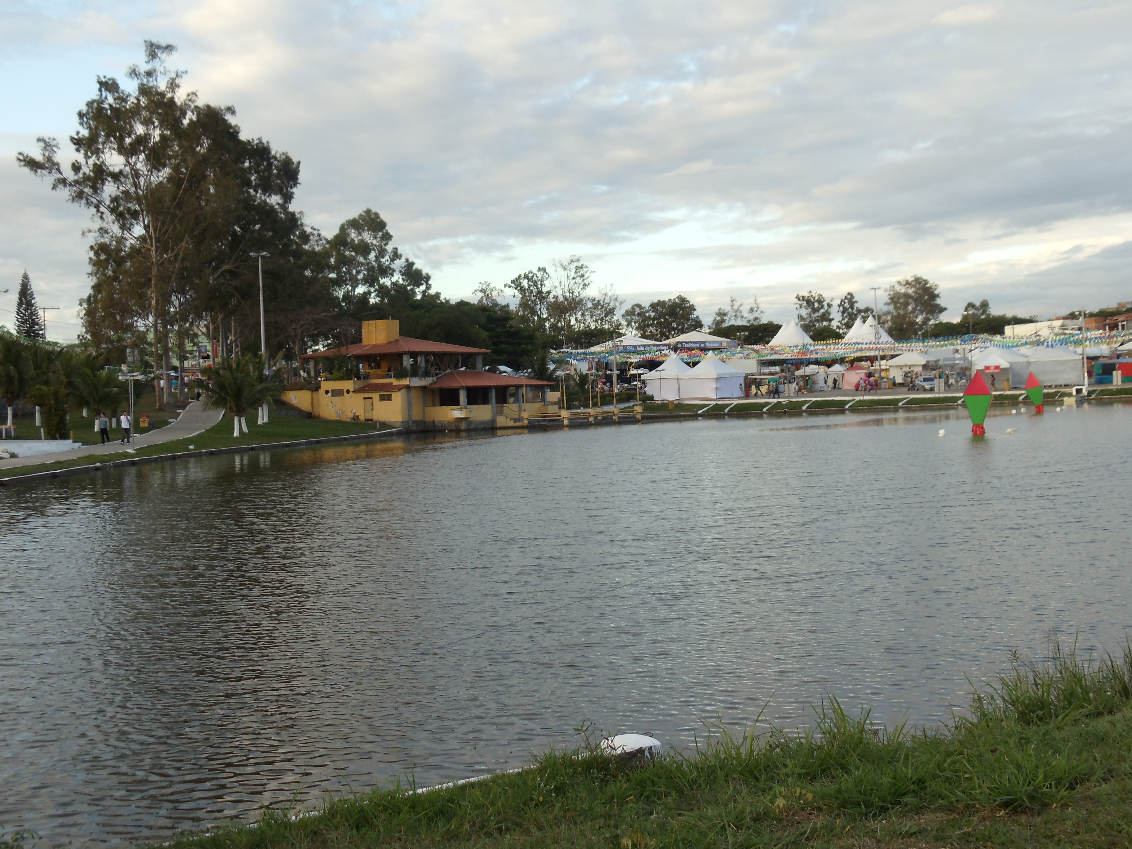
Parque Poliesportivo da Lagoa
Localización de Itapetinga
Lema: Terra firmus, pecus fortis
"Tierra firme, ganado fuerte"
País Bandera de Brasil Brasil
• Estado Bandeira da Bahia.svg Bahía
• Mesorregión Centro-Sur Baiano
• Microrregión Itapetinga
Ubicación
• Altitud 280 msnm
• Distancia 562 km a Salvador de Bahía
Superficie 1.609,515 km²
Fundación 12 de diciembre de 1953
Población 68314[1] hab. (censo 2010)
• Densidad 42,44 hab./km²
Gentilicio itapetinguense
Idioma Portugués
Huso horario UTC-3
• Verano UTC-2
Prefecto (alcalde) José Carlos Moura (PT)
Presupuesto PIB Total:
BRL 555.753.694.000,00
PIB per cápita:
BRL 8.432,78 IBGE/2008
IDH: 0,700 (Médio)[2]
(PNUD/2000)
Clima: Tropical
(según la clasificación Cwa)

Itapetinga es un municipio brasileño del estado de Bahía.

Referencias

  1. «Censo Populacional 2010». Censo Populacional 2010.
  2. . Atlas do Desenvolvimento Humano.

Wikimedia foundation. 2010.

Игры ⚽ Поможем написать реферат

Mira otros diccionarios:

  • Itapetinga — Original name in latin Itapetinga Name in other language Itatinga, QIT State code BR Continent/City America/Bahia longitude 15.24889 latitude 40.24778 altitude 282 Population 59721 Date 2012 08 03 …   Cities with a population over 1000 database

  • Itapetinga — Admin ASC 2 Code Orig. name Itapetinga Country and Admin Code BR.05.2916401 BR …   World countries Adminstrative division ASC I-II

  • Itapetinga Plaza Hotel — (Atibaia,Бразилия) Категория отеля: 2 звездочный отель Адрес: Rua Otávio Pass …   Каталог отелей

  • Microregion d'Itapetinga — Microrégion d Itapetinga La microrégion d Itapetinga est l une des huit microrégions qui subdivisent le centre sud de l État de Bahia au Brésil. Elle comporte 9 municipalités qui regroupaient 229 372 habitants en 2006 pour une superficie… …   Wikipédia en Français

  • Microrégion d'Itapetinga — La microrégion d Itapetinga est l une des huit microrégions qui subdivisent le centre sud de l État de Bahia au Brésil. Elle comporte 9 municipalités qui regroupaient 229 372 habitants en 2006 pour une superficie totale de… …   Wikipédia en Français

  • Microrregión de Itapetinga — Mapa Entidad Microrregión  • País …   Wikipedia Español

  • Charles Fabian Figueiredo Santos — Charles Personal information Full name Charles Fabian Figueiredo Santos Date of birth April 12, 1968 ( …   Wikipedia

  • Mirante — is a municipality/county in the state of Bahia in Brazil. In 2004 it had a population of 16,476. See also Mirante do Paranapanema, in São Paulo v …   Wikipedia

  • Cruz das Almas — is a small city near Salvador, in the state of Bahia, in Brazil. In 2004, it had an estimated population of 56.000 inhabitants. Its climate is tropical, hot and humid. The economy is based on agriculture, especially tobacco, orange and cassava… …   Wikipedia

  • Morro do Chapéu — is a small city in the Brazilian state of Bahia, 386 km northwest of its capital, Salvador, 1012 meters above the sea level, because of which it is one of the coolest towns in Bahia, with temperatures occasionally falling below 10 °C in the… …   Wikipedia

Compartir el artículo y extractos

Link directo
Do a right-click on the link above
and select “Copy Link”