- Hinwick
-
Hinwick Localización de Hinwick en Bedfordshire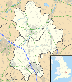
 HinwickLocalización de Hinwick en Inglaterra
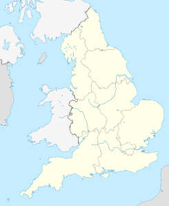
HinwickCoordenadas: Entidad Localidad • País  Reino Unido
• Nación constituyente  Inglaterra
• Región Este de Inglaterra • Condado Bedfordshire • Autoridad unitaria Bedford • Parroquia Podington Código postal NN29 Prefijo telefónico 01933 Hinwick es una aldea situada en Bedfordshire (Inglaterra), dentro de la parroquia civil de Podington, cuyo pueblo se encuentra a menos de una milla al nornoroeste por la carretera principal. La aldea se registró en el Libro Domesday en 1086 como Haneuuich, también deletreado Heneuuiche,[1] como Henewich en el siglo XI, y como Henewic y Hynewyk en el siglo XIII.[2]
Referencias
- Este artículo fue creado a partir de la traducción del artículo Hinwick de la Wikipedia en inglés, bajo licencia Creative Commons Atribución Compartir Igual 3.0 y GFDL.
- Notas al pie:
- ↑ «Domesday Book Online - Hinwick - Hineuuich(e)» (en inglés). The Domesday Book Online. Consultado el 13 de julio de 2010.
- ↑ «Podington with Hinwick» (en inglés). British History Online. Consultado el 13 de julio de 2010.
Categoría:- Localidades de Bedfordshire


Wikimedia foundation. 2010.