- Inverclyde
-
Inverclyde / Inbhir Chluaidh Consejo unitario de Escocia 
Situación de Inverclyde en Escocia.Capital Greenock Entidad Consejo unitario • País  Escocia
Superficie Puesto [1] 29.º • Total 160 km² Población (2009) Puesto [2] 27.º • Total 80.210 hab. • Densidad 501,31 hab/km² Sitio web oficial Inverclyde, (en gaélico escocés: Inbhir Chluaidh) es uno de los 32 Consejos unitarios (en inglés: council area) en que está dividida administrativamente Escocia. Limita con los Consejos unitarios de Renfrewshire, North Ayrshire y el Fiordo de Clyde. La capital administrativa es Greenock. Otras poblaciones importantes son Gourock y Port Glasgow.
Inverclyde pertenecía al antiguo condado de Renfrewshire hasta 1975. Desde ese año perteneció a la región de Strathclyde como el distrito de Inverclyde hasta que en 1996 volvió a modificarse la organización administrativa de Escocia y se formó el nuevo Consejo unitario de Inverclyde con el territorio del antiguo distrito.
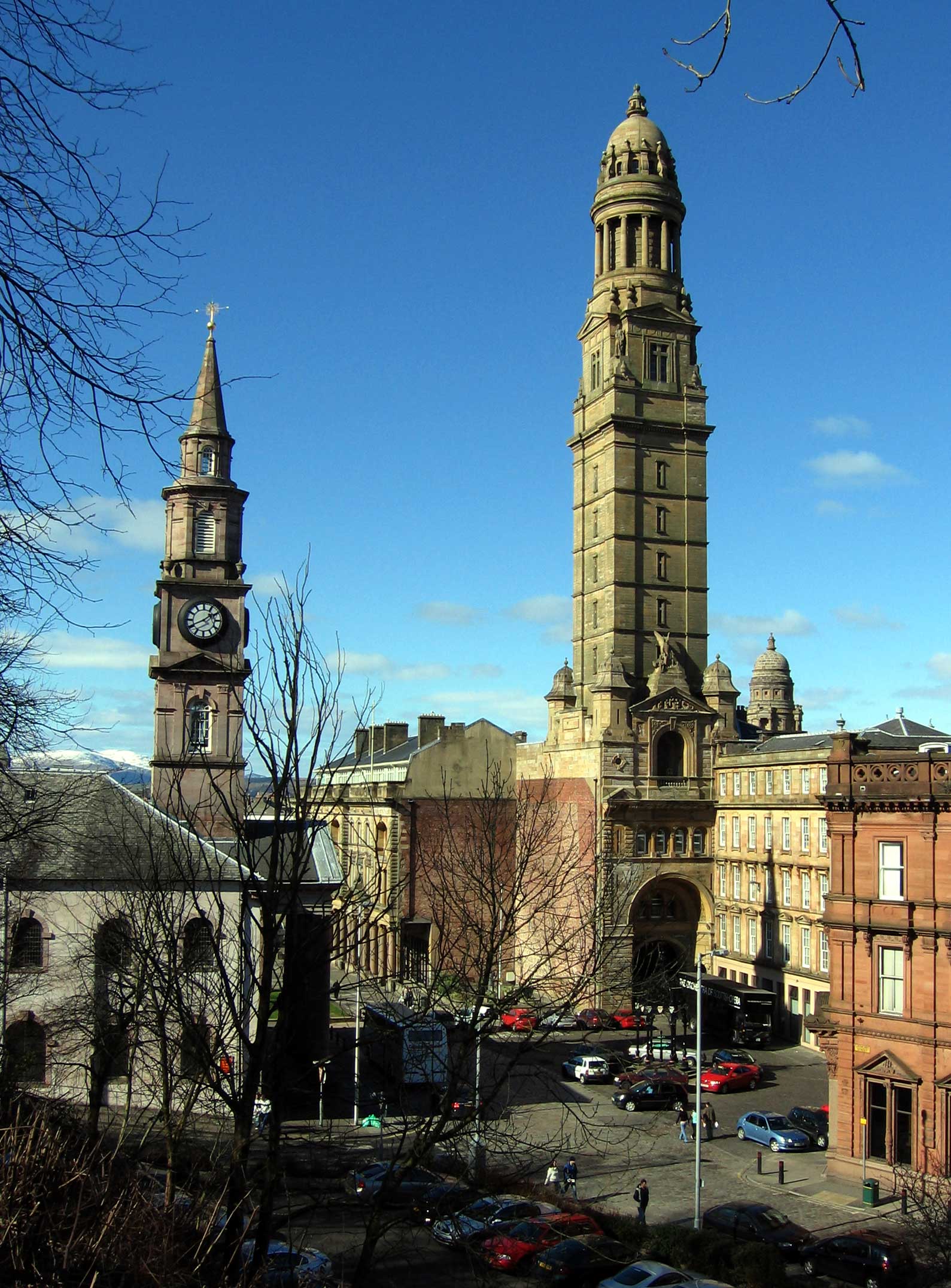
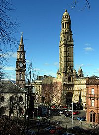 Sede del Consejo de Inverclyde en la localidad de Greenock.
Inverclyde es, después de Glasgow, el segundo lugar del Reino Unido con menor expectativa de vida con una media de 70,3 años para los hombres y 78.1 para las mujeres, según un estudio de la Sociedad de Psicoterapia del Reino Unido realizado en 2006.[3]
Referencias
- ↑ «Great Britain and Northern Ireland: Major Cities of Scotland» (en inglés).
- ↑ «Mid-2009 Population Estimates Scotland» (en inglés) (pdf) pág. 20. General Register Office for Scotland.
- ↑ «Lower life expectancy in cities» (en inglés). BBC.News (20 de junio de 2006). Consultado el 4 de diciembre de 2010.
- Este artículo fue creado a partir de la traducción del artículo Inverclyde de la Wikipedia en inglés, bajo licencia Creative Commons Atribución Compartir Igual 3.0 y GFDL.
Enlaces externos
 Wikimedia Commons alberga contenido multimedia sobre Inverclyde. Commons
- Inverclyde Council. Sitio web oficial del Consejo de Inverclyde.
Categoría:- Consejos de Escocia
Wikimedia foundation. 2010.