Tudor City (Manhattan)

Tudor City (Manhattan)

Coordenadas: 40°44′57″N 73°58′17″W / 40.749158, -73.97129

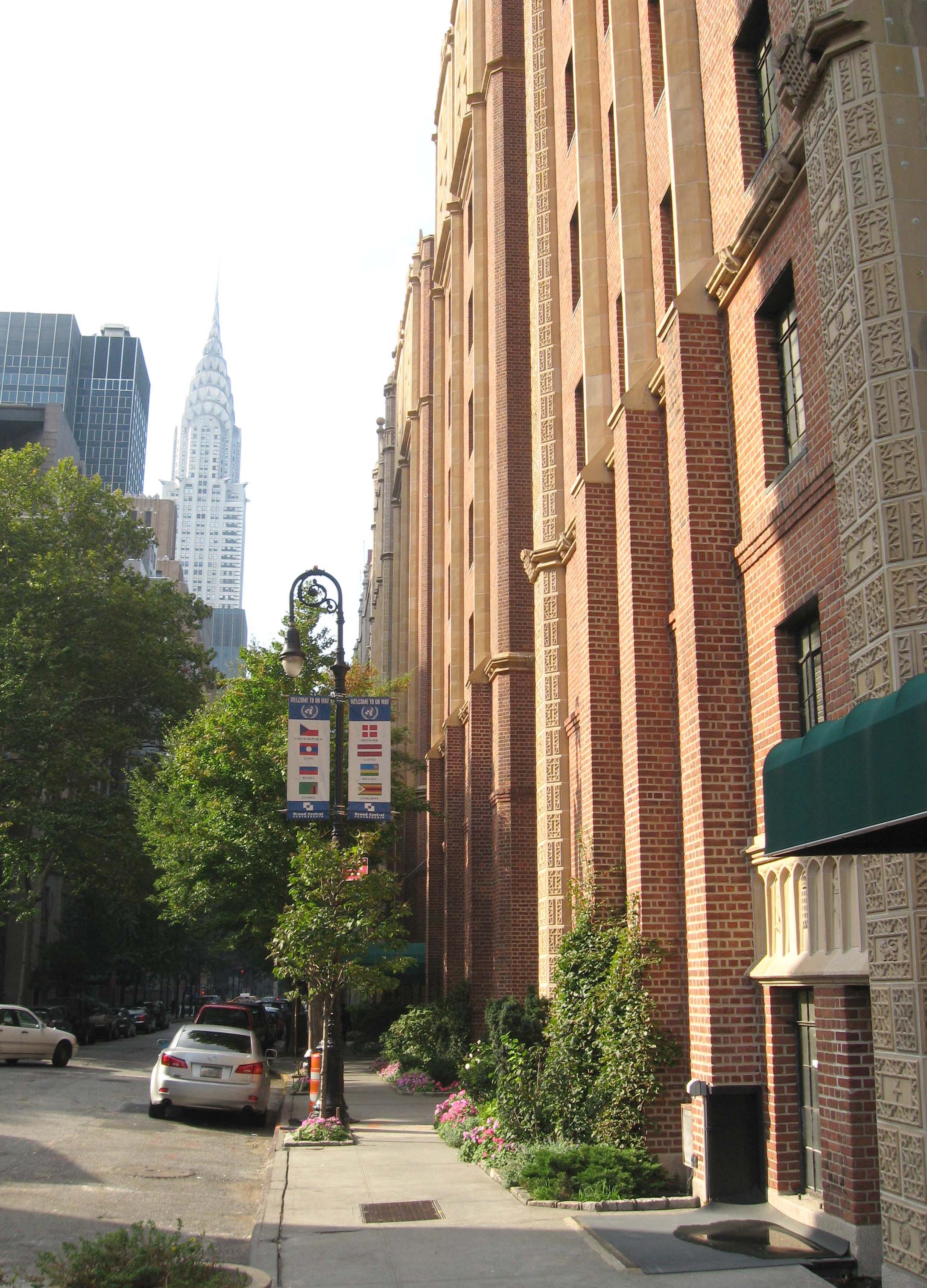
Apartamentos de Tudor City con el Chrysler Building en el fondo.

Tudor City es un complejo de apartamentos localizado en el East Side de Manhattan en Nueva York. Fue el primer rascacielos residencial en el mundo.[1] Limita al este con la Calle 40 al sur, la Primera Avenida al este, Segunda Avenida al oeste y al este y la Calle 43 al norte. Tudor City obtiene su nombre de la Dinastía Tudor (1485-1603), una edad de oro para las letras y las artes.

Contenido

Historia

Antes que existiera Tudor City, habían muchas viviendas y asentamiento informales, al lado de una central nuclear y mataderos, a lo largo de la Primera Avenida en el Río Este. Era conocido como "Goat Hill" (las cabras gobernaban la zona) y luego se llamó "Prospect Hill". El área eventualmente se convirtió en un asentamiento informal irlandés conocido como "Corcoran's Roost", fundado por Jimmy Corcoran, en los años 1850 y luego se convirtió en una comunidad con un alto índice de crímenes, con muchas pandillas, especialmente en el siglo XIX.[2] [3]

Referencias

  1. Nash, Eric Peter. Manhattan Skyscrapers. New York: Princeton Architectural Press, 1999. (pg. 43) ISBN 1-56898-181-3
  2. Nash, Eric Peter. Manhattan Skyscrapers. New York: Princeton Architectural Press, 1999. (pg. 43) ISBN 1-56898-181-3
  3. Wolfe, Gerard R. New York, 15 Walking Tours: An Architectural Guide to the Metropolis. New York: McGraw-Hill Professional, 2003. (pg. 355) ISBN 0-07-141185-2

Notas

  • Dolkart, Andrew S. "Tudor City", en Living Together. Columbia University.

Enlaces externos


Wikimedia foundation. 2010.

Игры ⚽ Поможем сделать НИР

Mira otros diccionarios:

  • Tudor City — Coordinates: 40°44′57″N 73°58′16″W / 40.7491°N 73.971°W / 40.7491; 73.971 …   Wikipedia

  • Tudor City — 40° 44′ 57″ N 73° 58′ 17″ W / 40.74915, 73.97129 Tudor City est un complexe résidenti …   Wikipédia en Français

  • Tudor City — Dieser Artikel wurde auf der Qualitätssicherungsseite des WikiProjekts Planen und Bauen eingetragen. Dies geschieht, um die Qualität der Artikel aus den Themengebieten Bautechnik, Architektur und Planung auf ein akzeptables Niveau zu bringen.… …   Deutsch Wikipedia

  • Manhattan Community Board 5 — is a local government unit of New York City, New York in the United States. It encompasses Midtown, Times Square, most of the Theatre District, the Diamond District, the Garment District, Herald Square, Korea …   Wikipedia

  • Manhattan — 40°43′42″N 73°59′39″O / 40.72833, 73.99417 …   Wikipédia en Français

  • Manhattan Community Board 6 — Community Board 6 Manhattan Community Board 6 is a local government unit of New York City, New York, United States. Its area of responsibility encompasses the East Side of Manhattan from 14th Street to 59th Street. This includes the …   Wikipedia

  • Manhattan — New York Island redirects here. For the Pacific island, see Teraina. For other uses, see Manhattan (disambiguation). Manhattan   Borough of New York City   New York County …   Wikipedia

  • Manhattan Valley — The castle like onetime New York Cancer Hospital,[1] built in 1887, now converted to a condominium, at 455 Central Park West in Manhattan Valley. Manhattan Valley is a neighborhood on the Upper West Side of Manhattan in New York City, bound …   Wikipedia

  • Manhattan Community Board 2 — Community Board 2 The Manhattan Community Board 2 is a local government unit of New York City, encompassing the neighborhoods of Greenwich Village, West Village, NoHo, SoHo, Lower East Side, Chinatown, and Little Ita …   Wikipedia

  • Manhattan Community Board 7 — The location of Manhattan Community Board 7 in New York City. The Manhattan Community Board 7 is a local government unit of the city of New York, encompassing the neighborhood of Manhattan Valley, Upper West Side, and Lincoln Square in the… …   Wikipedia

Compartir el artículo y extractos

Link directo
Do a right-click on the link above
and select “Copy Link”