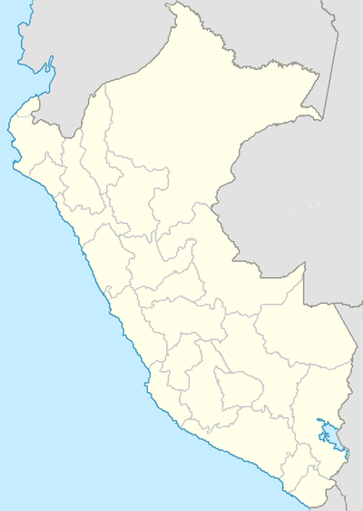
UBIGEO — is the coding system for geographical locations (Spanish: Código Ubicacíon Geográfica ) in Peru used by the National Statistics Institute (Spanish: Instituto Nacional de Estadística e Informática INEI [ [http://www.inei.gob.pe/ es Official web… … Wikipedia
Ubigeo — son las siglas oficiales para Código de Ubicación Geográfica, que usa el INEI para codificar las circunscripciones territoriales del Perú … Enciclopedia Universal
UBIGEO — Instituto Nacional de Estadística e Informática (Pérou) L Institut National de Statistique et d Informatique (Instituto Nacional de Estadística e Informática ou INEI) est l organisme officiel de statistiques du gouvernement péruvien. Il coordonne … Wikipédia en Français
INEI — Instituto Nacional de Estadística e Informática (Pérou) L Institut National de Statistique et d Informatique (Instituto Nacional de Estadística e Informática ou INEI) est l organisme officiel de statistiques du gouvernement péruvien. Il coordonne … Wikipédia en Français
Instituto Nacional De Estadística E Informática — (Pérou) L Institut National de Statistique et d Informatique (Instituto Nacional de Estadística e Informática ou INEI) est l organisme officiel de statistiques du gouvernement péruvien. Il coordonne, collecte et évalue les informations… … Wikipédia en Français
Instituto Nacional de Estadistica e Informatica — Instituto Nacional de Estadística e Informática (Pérou) L Institut National de Statistique et d Informatique (Instituto Nacional de Estadística e Informática ou INEI) est l organisme officiel de statistiques du gouvernement péruvien. Il coordonne … Wikipédia en Français
Instituto Nacional de Estadística e Informática — INEI étiquette utilisée dans le recensement de 2007. L Institut National de Statistique et d Informatique (Instituto Nacional de Estadística e Informática ou INEI) est l organisme officiel de statistiques du gouvernement péruvien. Il coordonne,… … Wikipédia en Français
Instituto Nacional de Estadística e Informática (Pérou) — L Institut National de Statistique et d Informatique (Instituto Nacional de Estadística e Informática ou INEI) est l organisme officiel de statistiques du gouvernement péruvien. Il coordonne, collecte et évalue les informations statistiques du… … Wikipédia en Français
Instituto nacional de estadística e informática — (Pérou) L Institut National de Statistique et d Informatique (Instituto Nacional de Estadística e Informática ou INEI) est l organisme officiel de statistiques du gouvernement péruvien. Il coordonne, collecte et évalue les informations… … Wikipédia en Français
Districts of Peru — The districts of Peru (Spanish: distritos) are the third level country subdivisions of Peru. They are subdivisions of the provinces, which in turn are subdivisions of the larger regions or departments. There are 1,833 districts in total … Wikipedia

